Getting Started.
We rented a car and Drove for 3 weeks putting over 4000 miles on it (nearly doubling the mileage on the Odometer. During the first week, we drove from our home in Concord, California over the Sierra Mountains through Nevada and Utah to Arizona and toured Monument Valley. Then drove on to Colorado where we travelled the scenic San Juan Skyway ending up in Durango, took a ride on the historic Durango / Silverton Railroad and continued on to Pagosa Springs - our home for the second week of our trip. During this week, we took day trips to the Pagosa Radio Tower (mentioned many times in the brochures), Great Sand Dunes National Monument (would you believe it), Chimney Rock, Aztec Ruins National Park, San Juan and Fort Garland (oldest town and fort in the area). The third week, we toured Mesa Verde, Canyonlands National Park and other view accessable from Moab Utah and traveling home (stopping by the Bonneville Salt Flats and checking out the "World of Speed" Land Speed Trials on our way.Week 1
We started our trip with the drive across California and Nevada headed toward Salt Lake City - a drive we have made enough times recently (working on genealogy and going to the Library there), that it is starting to seem routine. From Salt Lake City, we travelled down to Torrey, Utah where our adventure began. Torrey is just outside Capital Reef National Park. Since Capital Reef wasn't one of the targetted highlights of our trip, it caught me by surprise and I didn't get any pictures. It sure was a great example of the sort of landscape we would be seeing for the next three weeks though and the highway runs right up next to the impressive cliffs.Torrey to Monument Valley
OK, the mill may not look like much to you or I, but the BLM doesn't get much of a chance to do restoration work and they are very proud of it.
BLM's first restoration project (a mill).

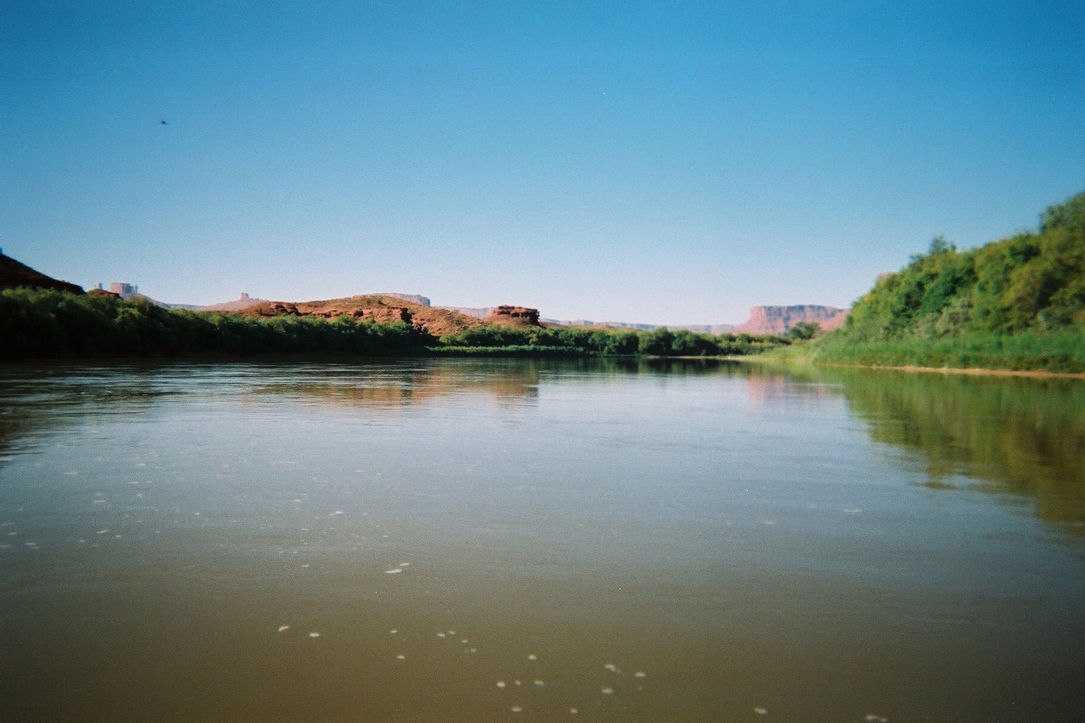
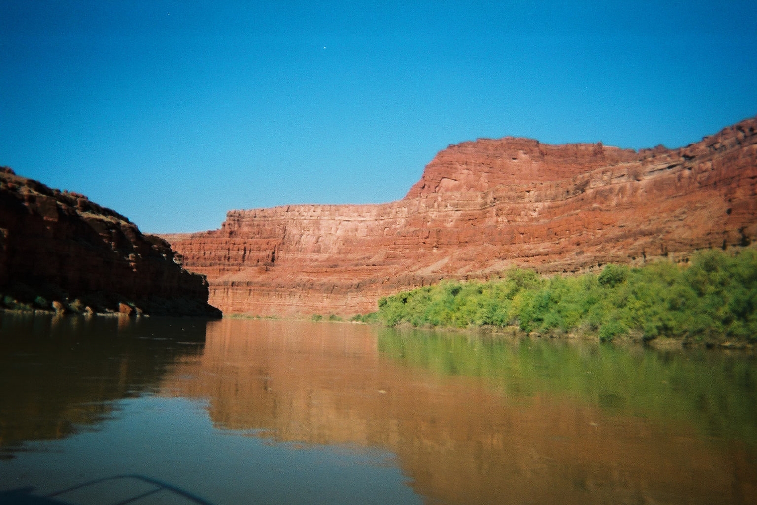
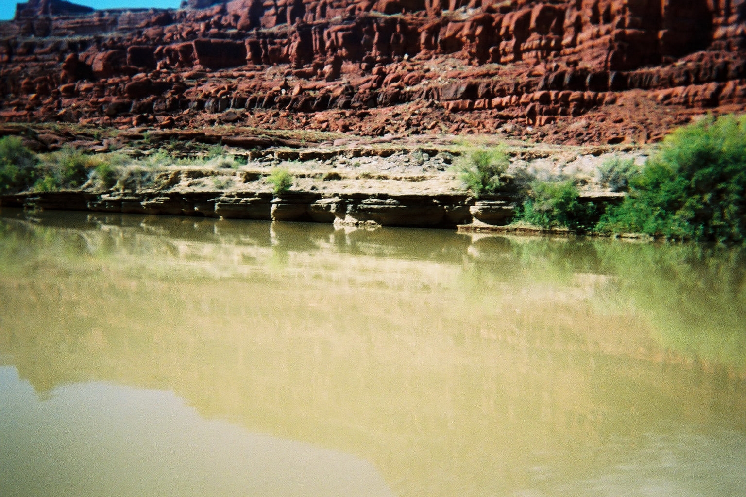
Colorado River Bridge
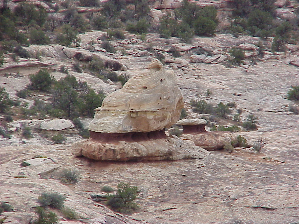
A Giant Petrified Snowcone

Gas Station Blasted into Mountain
Goblins State Park
Sometimes I think Mother Nature must have quite a sense of humor - how else would you explain the goblins? Sure Geologist will tell you that diverse densities of rock that was created during different epocs will cause them to erode at different speeds, but I'm just not buyin' it.
Goblins 1

Goblins 2

Goblins 3

Goblins 4
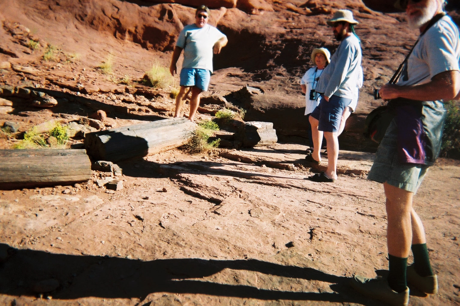
Natural Bridges National Monument
We didn't really expect to have time to stop here, but it worked out. We learned that the difference between a Bridge and an Arch is that a Bridge has water running through it.
Natural Bridge

Natural Bridge

Natural Bridge
Four Corners
I expect it is obligatory to have your picture taken with a body part in each of the four states that meet at this single spot.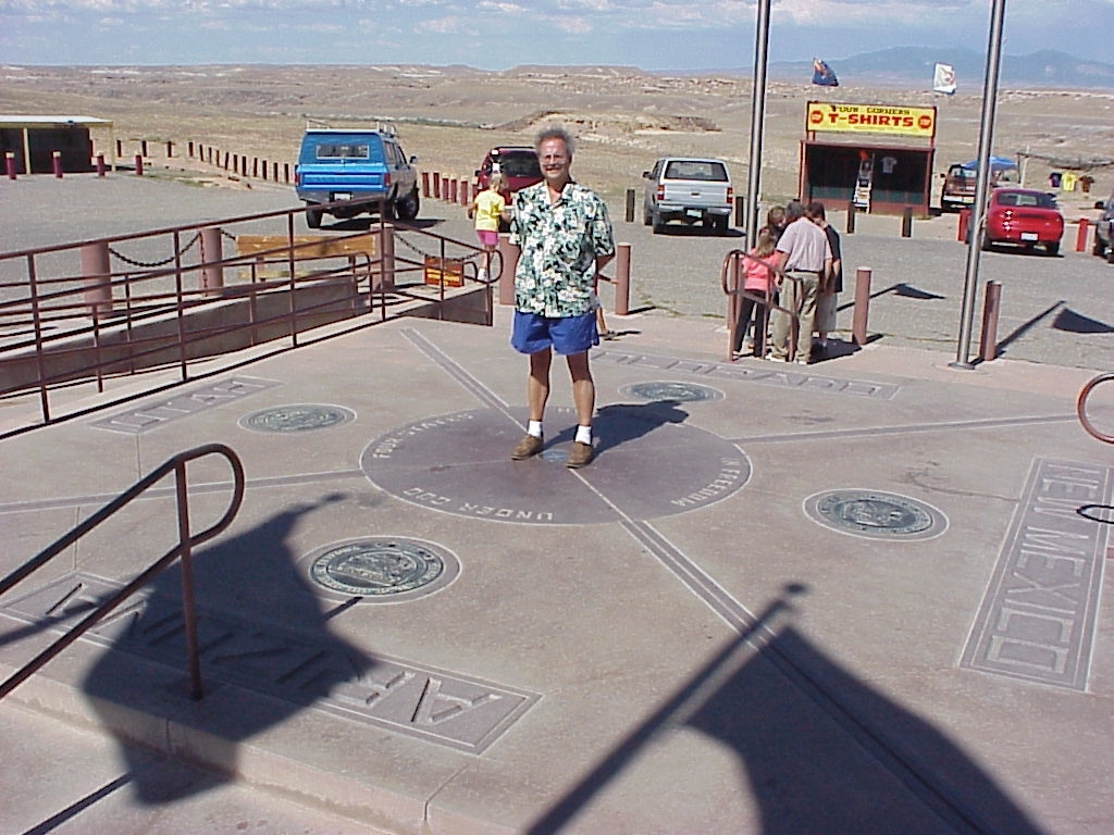
Four Corners
Monument Valley
The Hogan is the traditional dwelling of the Novajo and a large percentage of families in the Novajo Nation still have them. The appear to be closely related to the Tardis as they are much bigger inside than out.
A Novajo Hogan

Inside the Hogan

Monument Valley

Monument Valley

Monument Valley
Ouray
(You-ray) Ouray isn't known for it's little park, it's more known for it public spa - a very large outdoor public pool that is naturall heated by the local hotsprings. But we didn't go to the spa, so I checked out the park instead. The Chipmonk crossing made it seem very inviting and there were two short walks. What I didn't realize was that the stairs that started the walk would end up being about the entire first third of the walk - started to feel the altitude.
Chipmonk Crossing

Staircase

Trail

Lower path from Upper

Falls

Looking up

Overview of Ouray
Silverton
As the name implies, Silverton was a mining town, so we just had to take the mine tour. Penny wasn't very pleased about that, but she proved to be a real trouper. When our guide demonstrated the use of the "modern" drilling equipment, we all got a sense of just how miserable it would have been down there..jpg)
Penny

Mining Equipment Demonstration
Durango
We took a round trip ride on the Durango / Silverton Railroad, a restored steam train. It took all day and ran at a top speed of about 13 miles per hour. Very pretty sceneary, but at that speed it did seem rather like watching paint dry at times.
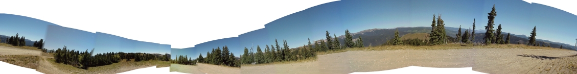
Mountains

Durango Silverton Railroad

Colorado River

The Train

The Train

The Train
Week 2
We stayed the second week at a timeshare in Pagosa Springs and used it as a base for day trips.Sand Dune NP
We just had to go see it. After all, we seen sand dunes before, but never any that had acheived a title like "The Great Sand Dunes National Park". It did look rather out of place up there in the mountains.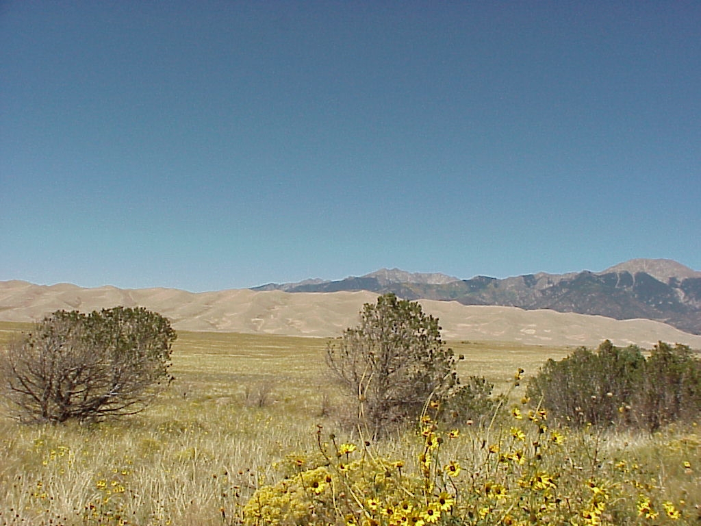
San Dunes (the approach)

San Dunes (the Dunes)

San Dunes (the getaway)
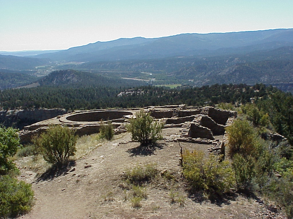
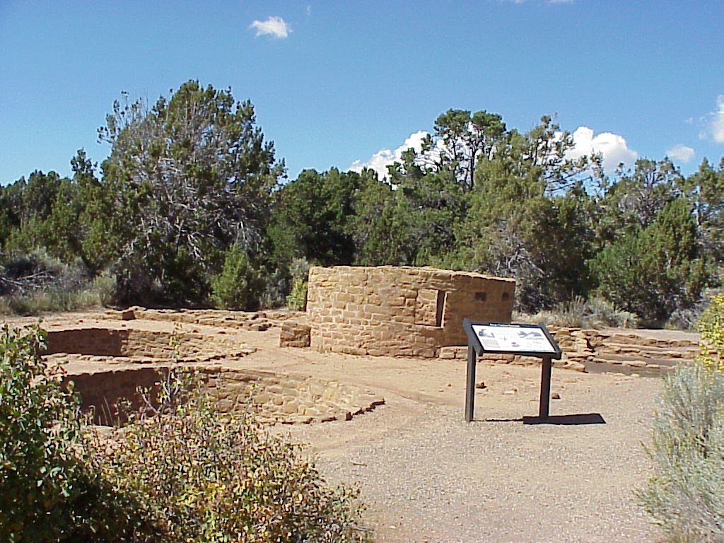
Chimney Rock
They're not sure why, but a group of early indians built dwellings atop the mountain at Chimney Rock. What makes it particularly curious is that they relied on farming and that had to be done in the valley 2 miles below. Some think that these dwellings were more of a cerimonial retreat due to the Juxtaposition of the settlement to the landmark rocks. The trail up to the settlement had us walking along a rather step ridge. I was impressed with the faith the park people appear to put in our abilities to maintain our balance.People will find faces in anything, so it cames as no supprise that the rocks had faces as well, but I did think it was humorous that the existance of a birds nest and the resulting leavings under one face's nose made it appear as if he had a cold.

Bird Nest under the Nose

Chimney Rock

Chimney Rock Trail

Chimney Rock Trail looking up
Chimney Rock Village

Grinding Station

Keva Condos
The Great Keva

The Ridge

Wall at Chimney Rock
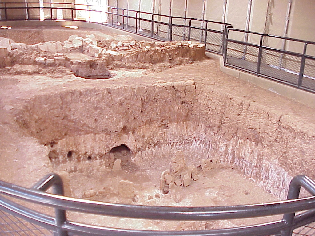
Aztec Ruins, Fort Garland, San Juan
Judging by the extent of the foundations at Astec Ruins, this village was city size and while any Keva larger that 10 feet across is considered a "great Keva", this one was huge!San Juan is the oldest city in the area and Fort Garland the oldest fort.

Aztec Ruins 1

Aztec Ruins 2

The Great Keva

Fort Garland 1

Fort Garland 2

San Juan
Misc Pagosa Springs
We stayed at the Fairfield Pagosa Resort. A pretty nice timeshare with a golf course that winds though between the condos. There were quite a number of geese visiting while we were there and it actually got cold enough to produce icicles first thing in the morning (the sprinklers provided the water) on the picnic table out our back door.Most of the broshures for activities in the area said we had to go see the view from the radio tower, so we did. I tried to string it all together, but I don't think I did very well.

Pagosa Geese 1

Pagosa Geese 2

Picnic Table Ice

Ridges 1

Ridges 2
View from Radio Tower
Week 3
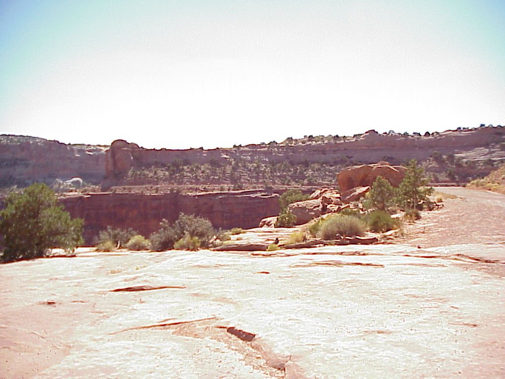
The third week, we drove to Mesa Verde (the primary park for this vacation) and on to moab - where we stayed for four days and enjoyed a four daytrip Oars Outback Touring visit. After that, we just drove home, Stopping at Wendover again and checking out the Bonneville Salt Flats on the way.Mesa Verde
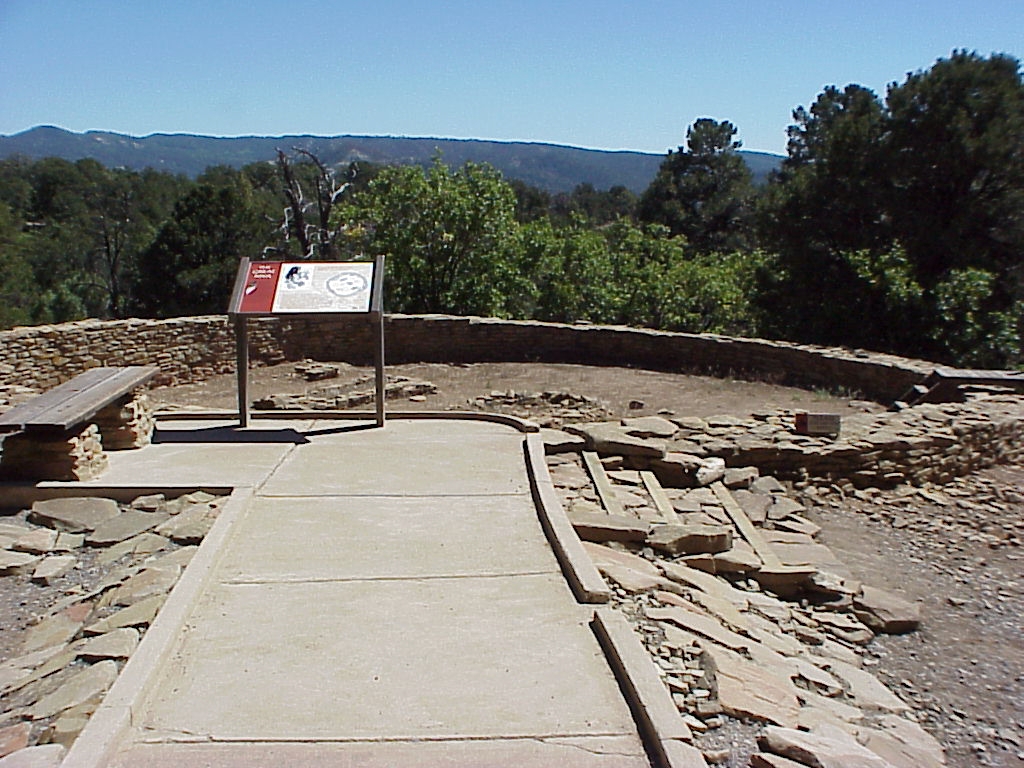
Mesa Verde was the primary reason for this vacation trip and certainly had some amazing housing stock. While most of thepit houses date back to around 100-300ad, the Cliff houses are more like 800-1100ad.
Cliff

Cliff House 1

Cliff House 2

Cliff House 3

Cliff House 4

Cliff Palace

Cliff Palace

Cliff Palace

Cliff Palace

Cliff Palace

Cliff Palace beams

Cliff Palace Keva
Lookout Tower

Tower House

Tower with Tunnels
Mesa from Room
Pit Condo 1

Pit Condo 2

Pit Condo 3

Pit Condo 4

Pit House

Pit House inside

Stairs at Resovoir
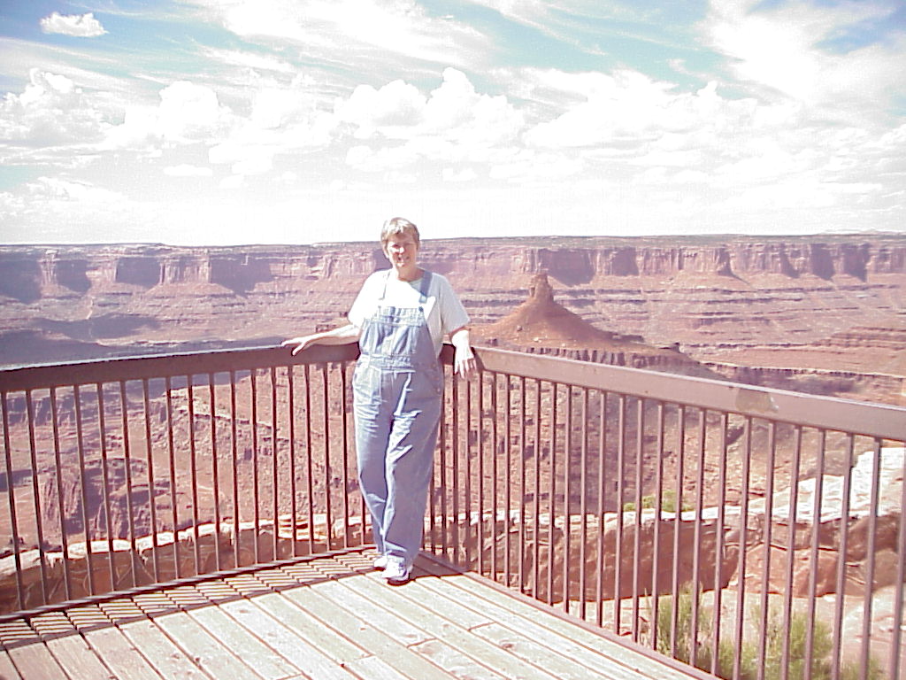
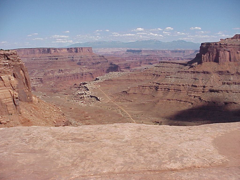
Dead Horse Point
Dead horse Point is a wide area at the end of a very large mesa that is only accessable via a very narrow area (20 or so feet wide) called "The Neck". It's just wide enough for a two lane road and the ground drops away very dramatically on either side - when they say "no shoulder" they're not kiding. Those stones along the right side of the road looked very much like grave stones and I thought that was going a bit far, but cute none the less.The story of dead horse point is that the cowboys would herd wild horses out to this natural coral (since they could block exit at the neck), select the best of them and drive the rest over the cliff to improve the selection next year. Our guide explained that the true story was that it wasn't cowboys and horses, but rather the town's women and women of ill repute and that the name dead horse point was really due to a mispronounciation. I personally think I prefer the first story.
You will see many other pictures of Dead horse point - it seems that it is very centrally located. It's in the "Island in the Sky" district of the Canyonlands park, so aside from the pictures we took from Dead Horse point itself, we have pictures of it from the bottom of the Shafer trail (4x4 trip) from the ranger station in the Island district, and from the Colorado river (Jetboat trip). We got to see it from the air (Redtail aviation) as well, but the battery in my camera died, so no picture.

The Neck

DHP view 1

DHP view 2
Penny at DHP
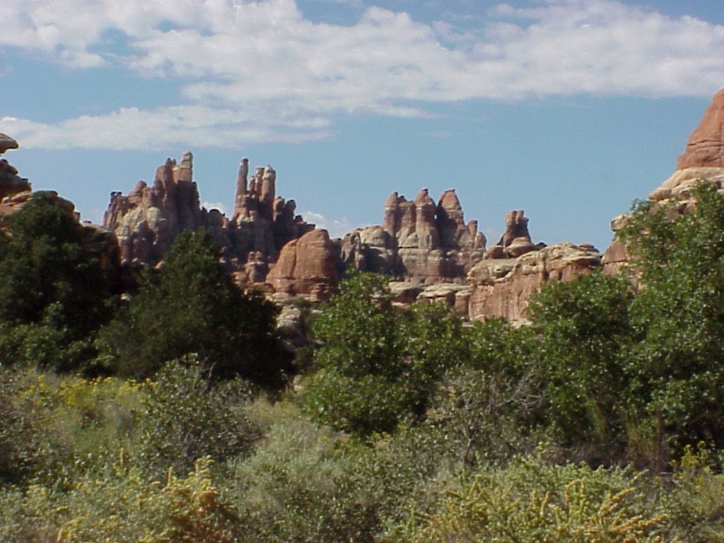
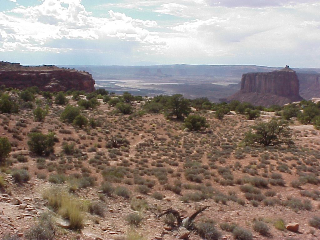
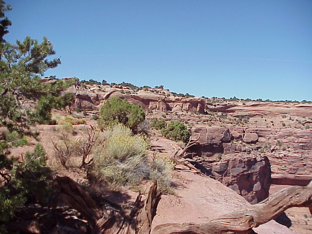
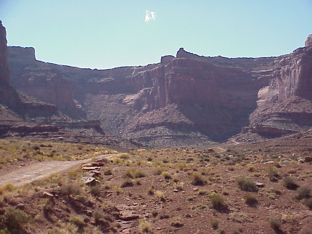
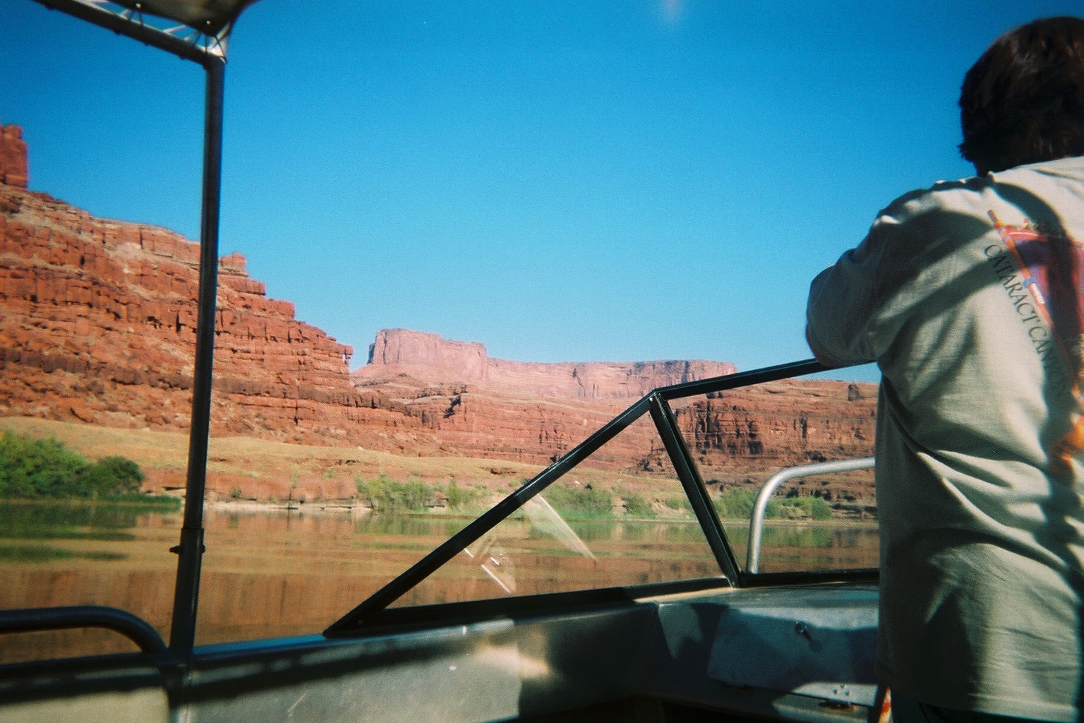
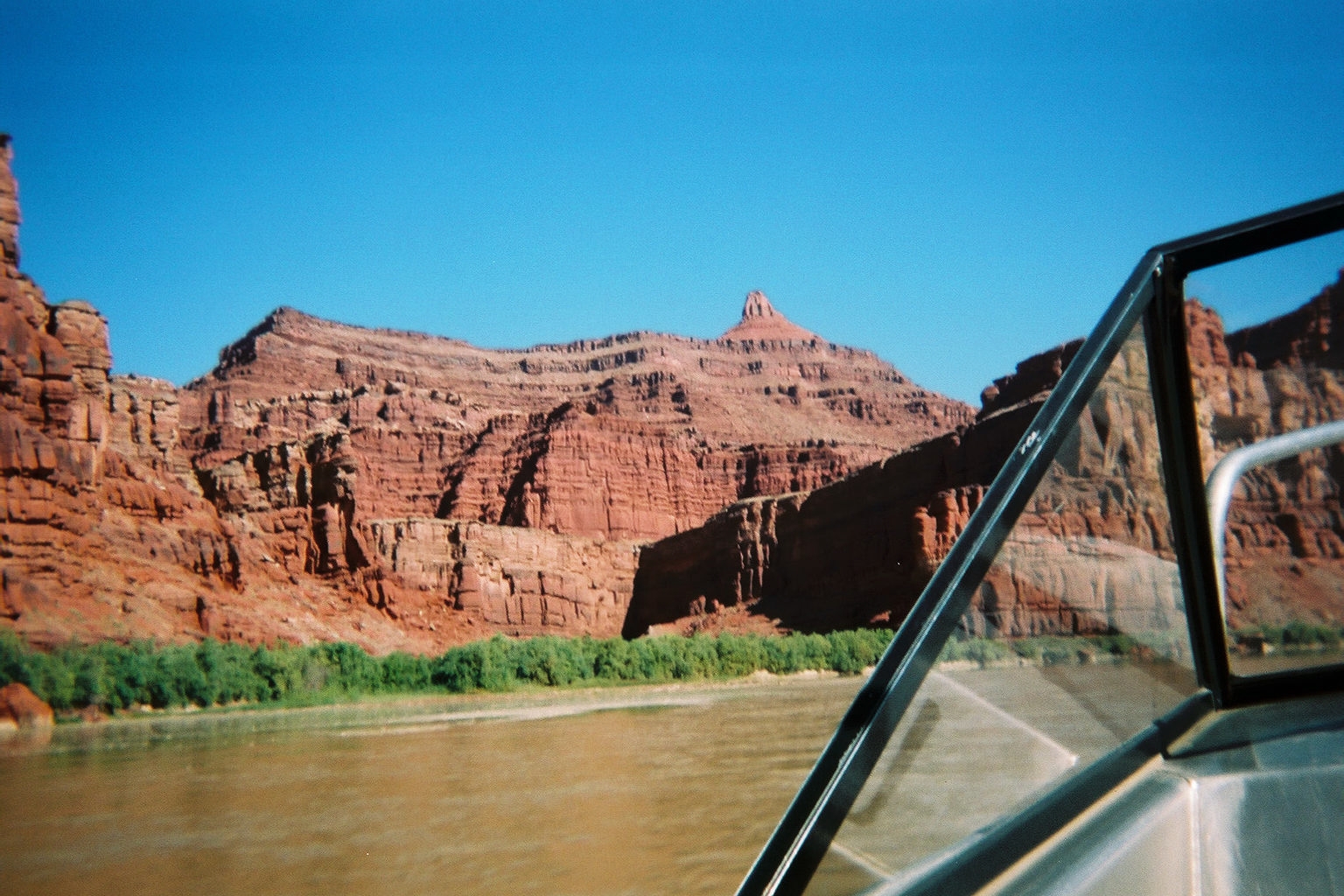
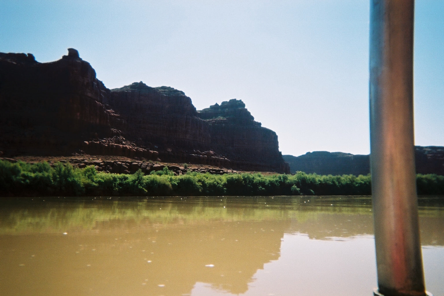
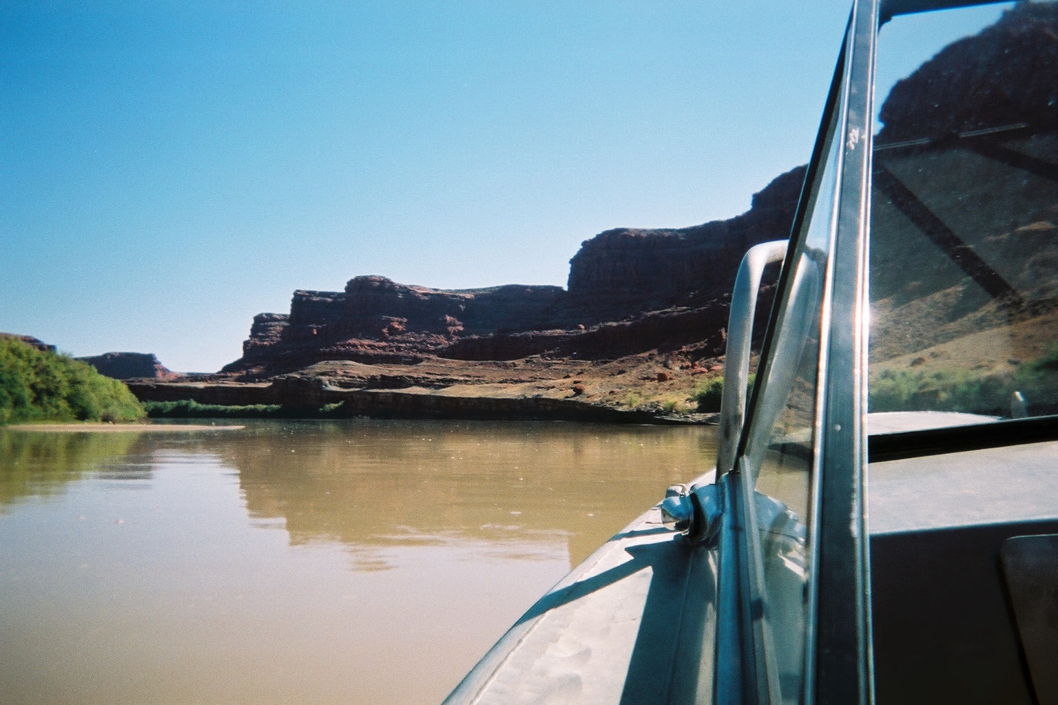
Canyonlands NP
Canyonlands is a very large park and most of it is unreachable by paved roads. In fact, there are three districts "Island in the sky", "Needles" and "Maze" and while Island and Needles district have a short paved road to their respective visitors centers, the maze district has no road at all and is not even accessable via 4x4 in a day trip. We decided that we really wanted to see more of the park that we could from the little bit of paved road, so we bought a four day adventure package from Oars. The packages we bought consisted of 4 separate 1 day trips (returning to Moab each night).Day 1: 4x4 excursion into the Needles district of Canyonland.
Day 2: Raft trip down part of Colorado River North of the park
Day 3: 4x4 excursion into the Island district of Canyonland.
Day 4: Jetboat trip down part of the River a little south of the raft trip

Church Rock

Indian Design on Side of Hill
Needles District
It wasn't until our guide had "locked the hubs" and we were starting to climb up the side of a cliff made of sheer Slickrock and Gravel that we realized that there was good reason for using a 4x4 on this excursion. Neither Penny nor I had every been on a 4x4 trip before and probably would not have signed up for this one if we knew what we were getting into. We had a great time and are glad now that we went, but if you ever hear the word "Technical" used to discribe a drive you are about to take ... be forwarned - that's 4x4 jargon for difficult or challenging. This adventure started with a climb over Elephant hill which gets a "Technical" rating of 3 and is considered very challenging. The broshure explained that we would be riding in an air-conditioned Silverado. It didn't mention that the suspention and undercarraige was modified and customized to improve you likelyhood of success.Going up the front side of Elephant hill, we had to turn around a few times for the switchback. Each time we turned around, the driver would have to back up so that the back wheels were right at the cliff edge. Since Penny and I were sitting in the back, this put us over the edge of the cliff - not a particularly faith instilling place to be for the beginning of the trip. Having survived the trip up, we figured the back side would seem like a snap - it wasn't bad until we arrived at a switchback that was too tight to have a turnaround and was instead marked with a sign that read "Pull in - Back down" and learned that this meant our guide would be expected to drive the most treacherous part of this section backwards. On the way back, of course, the sign at the other end of the same section read "Pull in - Back up".
Elephant hill wasn't the last of the "Technical" bits either. After that came Squeeze play - a section of road that can only be described as a slot canyon for Suburbans - on our way back to Gobbins Valley and the trail head for "Joint trail" the start of our short hike to Chesler Valley. On the way back we experience a trip down the Silver Staircase and back over Elephant hill enjoying many views and vistas along the way. Not to downplay the magnificent views, but one of our favorite parts was watching the expresions on the peoples faces in the picnic area as we lumbered back down the cliff face and returned to the paved road in our Silverado. It seemed they couldn't believe it any more that Penny or I.

Chesler Valley 1

Chesler Valley 2

Chesler Valley 3

Chesler Valley 4

Chesler Valley 5

Chesler Valley 6

Chesler Valley 7
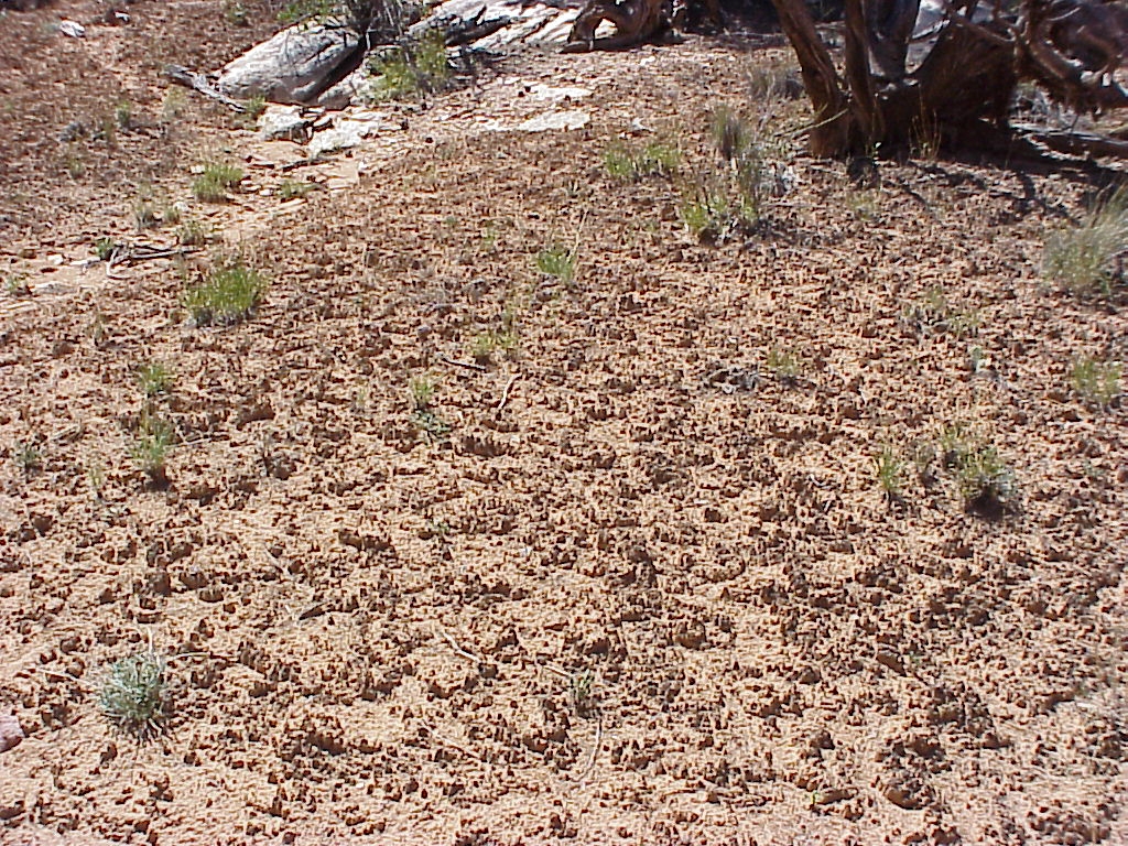
CryptoBiotic Soil

Elephant Hill back going down

Elephant Hill back going up
Elephant Hill Exit

Elephant Hill Sign
Gobbins Valley 1

Gobbins Valley 2

Gobbins Valley Glyphs

Gobbins Valley Road

Joint Trail 1

Joint Trail 2

Joint Trail 3

Joint Trail 4

Joint Trail Stairs

Newspaper Rock

Santa Rock

Silver Staircase

Silver Staircase view

Squeezeplay 1

Squeezeplay 2

Squeezeplay 3

Squeezeplay 4
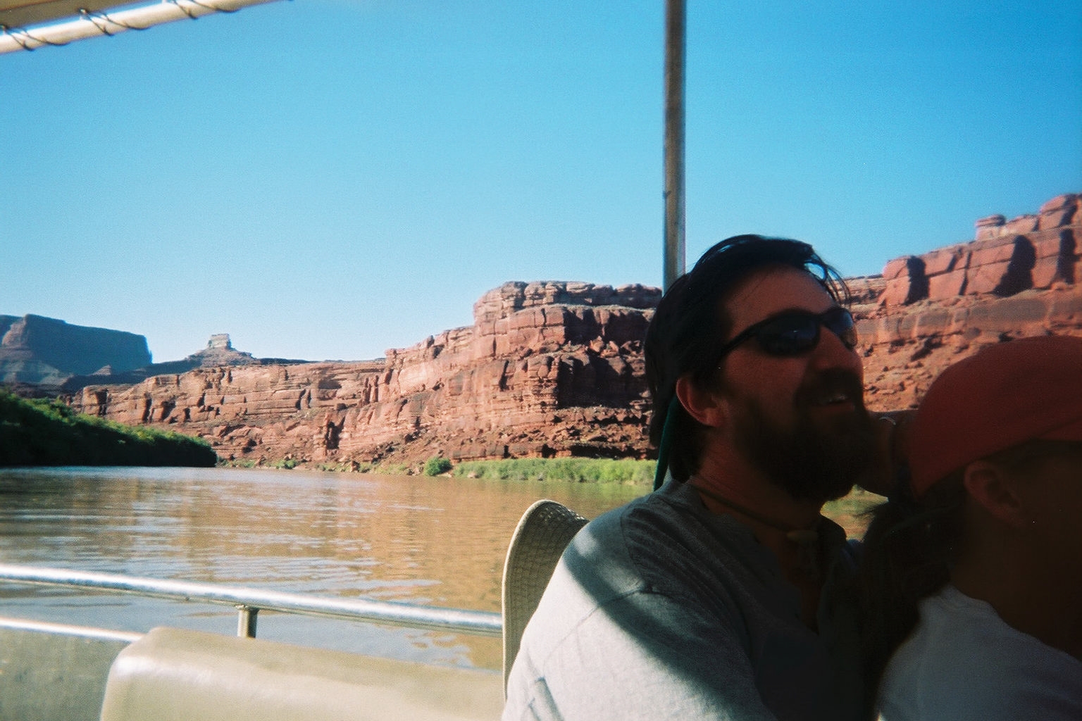
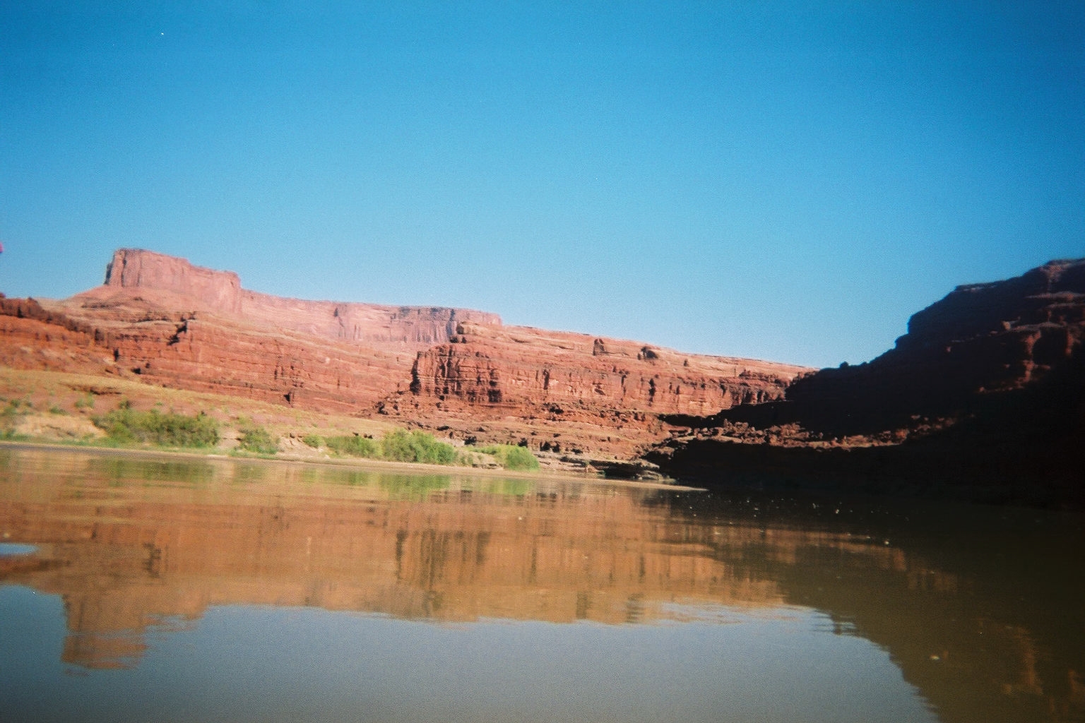
Raft Trip
After our first day's 4x4 adventure, we were sure that the raft ride was going to be white water for sure. As it turned out, the water was so calm, we felt sorry for our Guide (Kelly) a petite little girl who ended up rowing most of the day.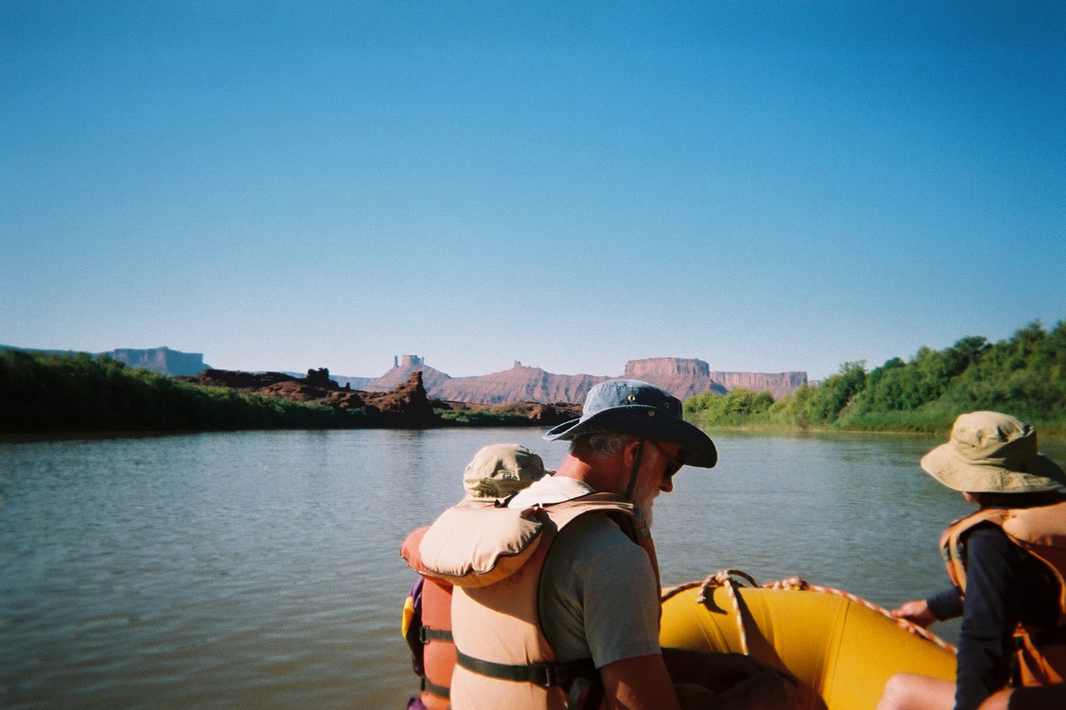
Buttes off the Bow
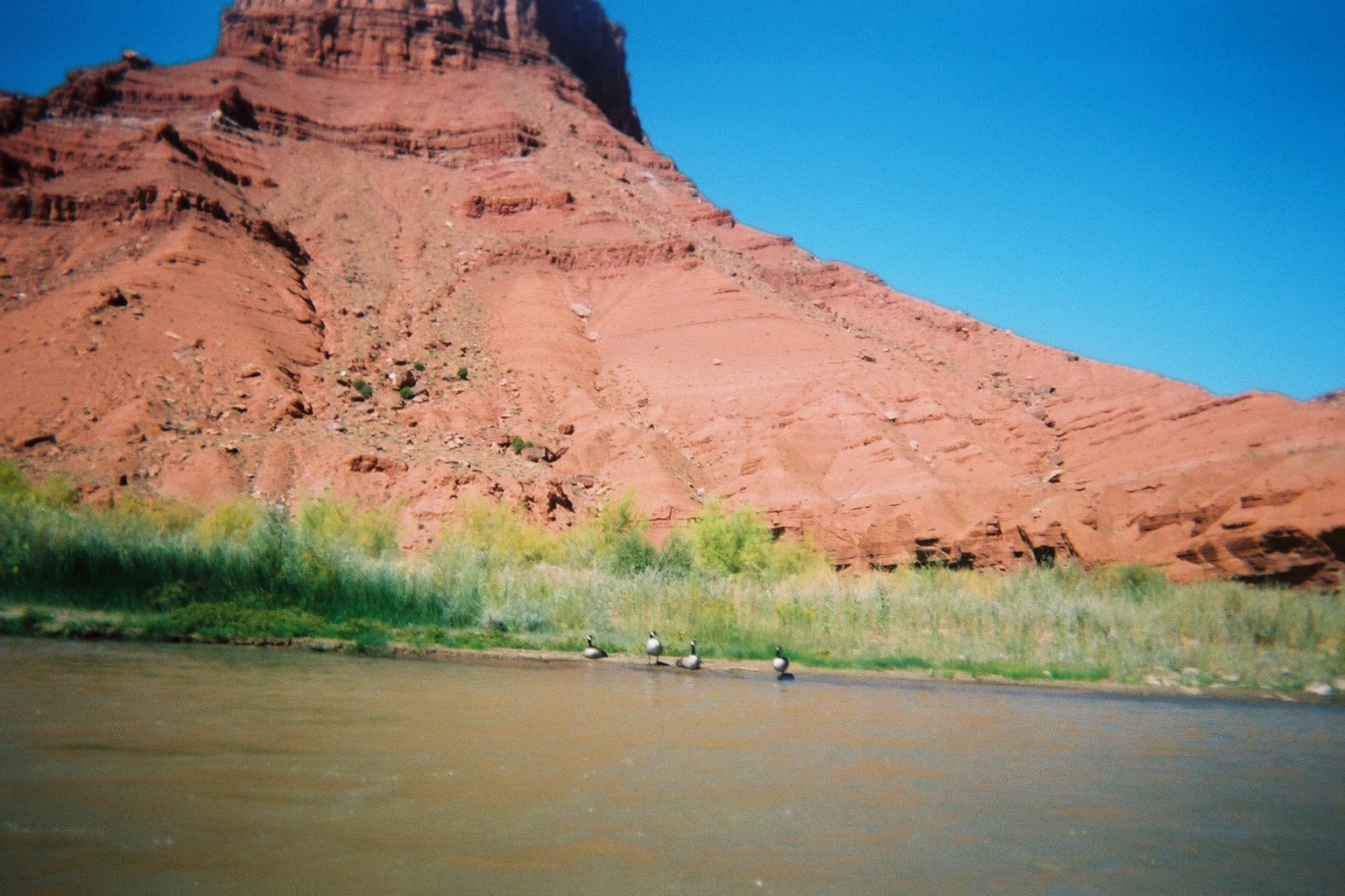
Wild Geese
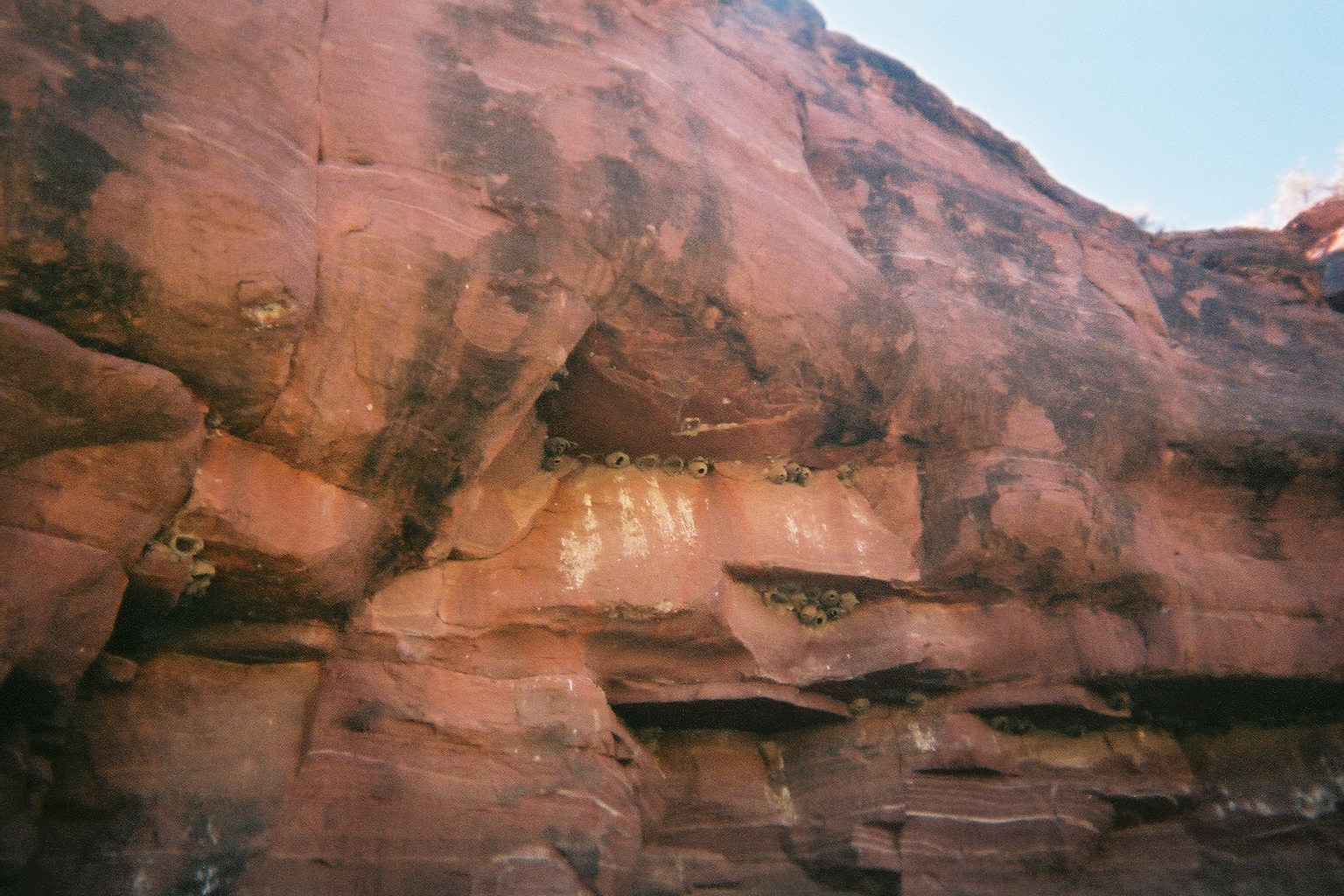
Mud Swallows
Smooth as Glass
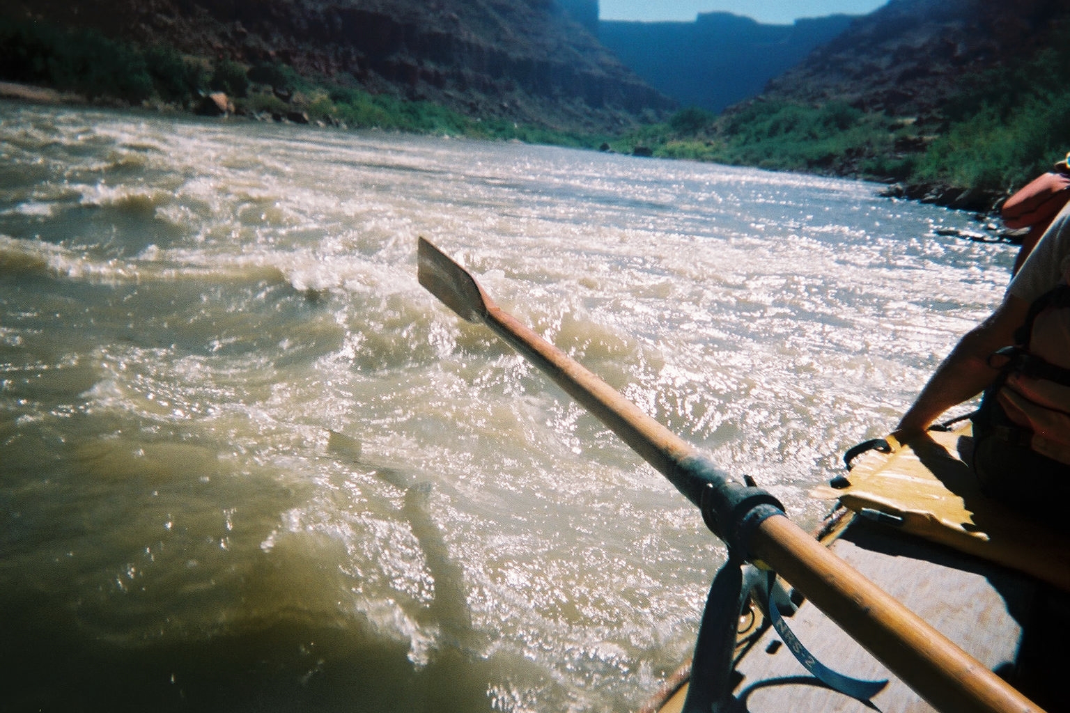
White Water
Island in the Sky
This time, we felt we were ready - being Seasoned 4x4 adventerers and all, but the trip started out down Shafer trail - a very long and narrow gravel road with 7 switchbacks down a very tall cliff. The story behind it is that two brothers had cattle that they needed to get up and down this cliff every year, so the built this road. I thought it had a great view of the canyon, but Penny really doesn't like Gravel road down cliffs (can't say I blame her).
Canyon from Island

Colorado River
Island view 1

Island view 2

Island view 3

Island view 4

DHP from canyon

Results of Salt Plain

Shafer Looking Back

Shafer Switchbacks
Shafer Trail
Shafer Trail overlook
Shafer Trail Road
Shafer Trail Start

Upheaval Dome 1

Upheaval Dome 2
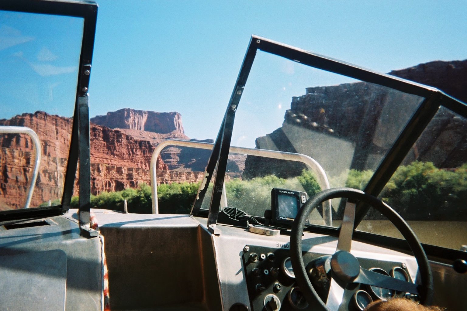
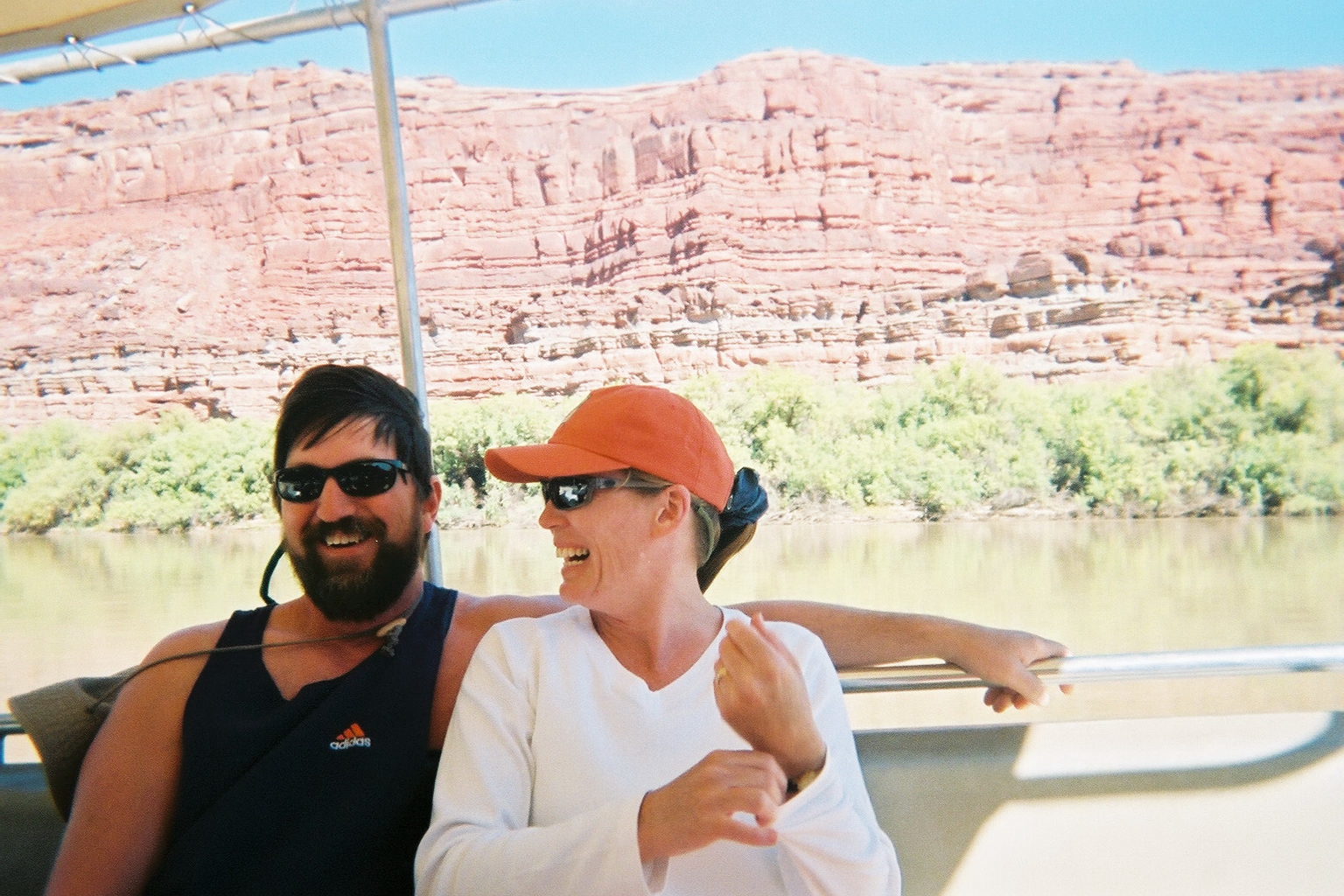
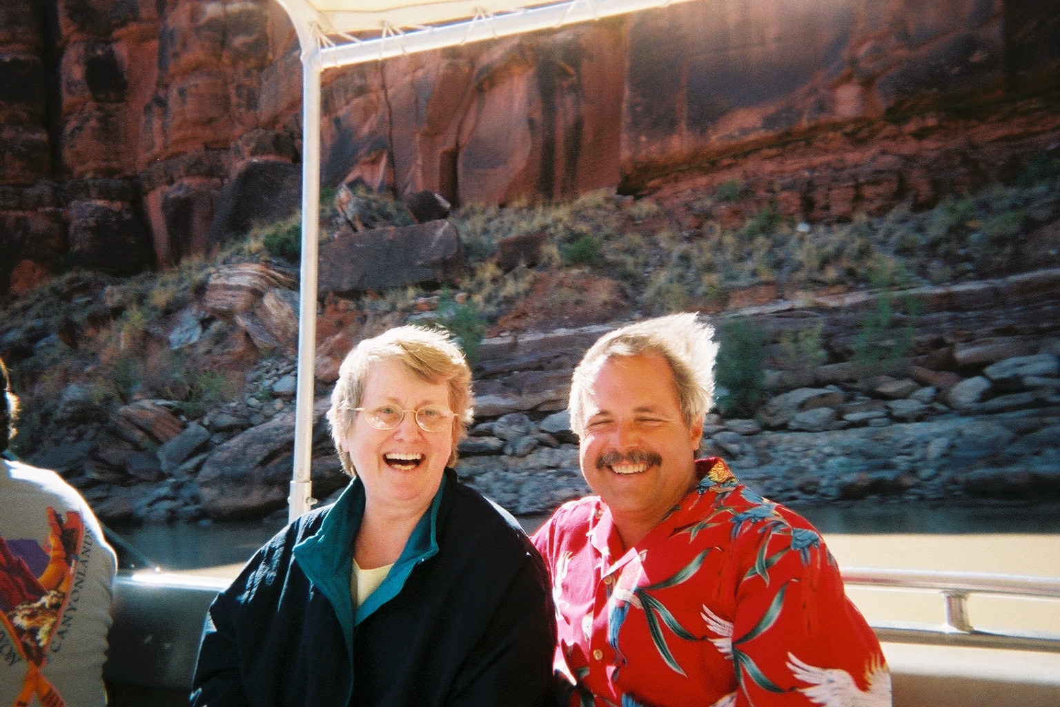
JetBoat Trip
By day four, we didn't know what to expect, but it turned out to be consistant with the other river day - a beautiful day to be out on the river (especially with a motor boat). We saw a full length petrified tree.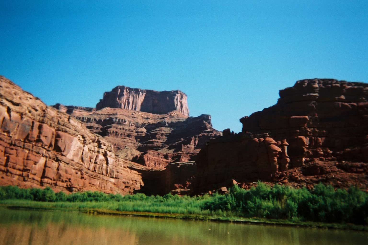
Dead Horse Point
DHP from below
Michael and Susanne
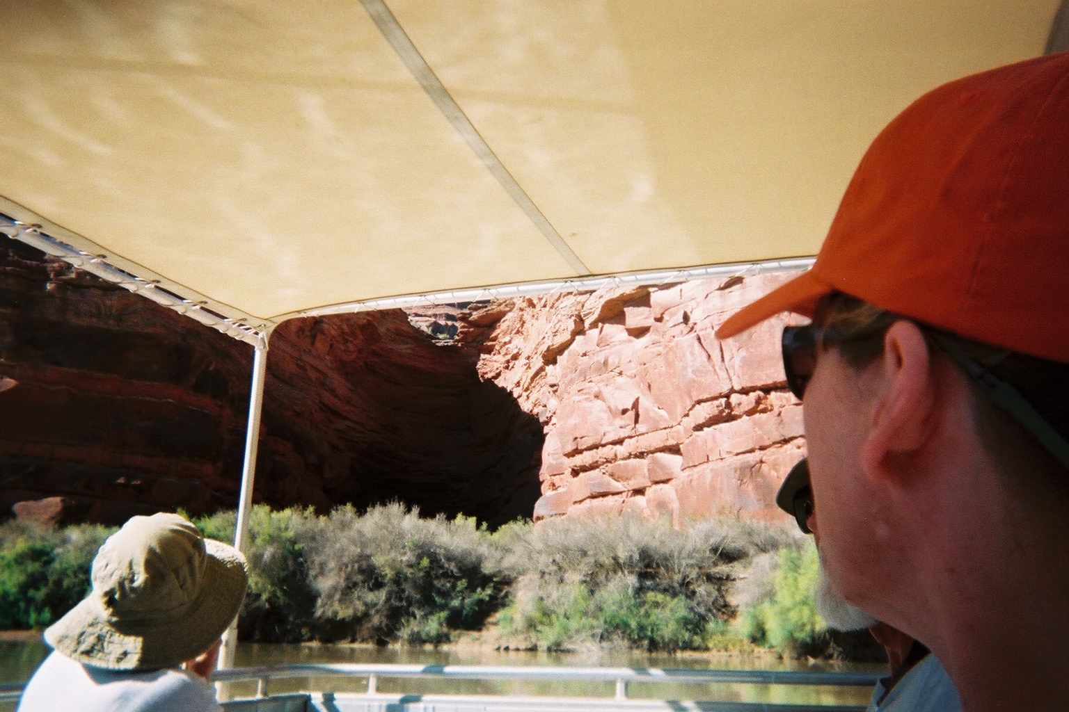
Natural Alcove
Penny and Bill
Petrified Tree
River 1
River 2
River 3
River 4
River 5
River 7
River 8
Undercut
Arches
What can I say, Arches National Park is full of ... well ... Arches. Delicate Arch should look familiar as the state of Utah is quite rightfully proud of it and uses it frequently as a logo or background (check out the license plates).
Arches 1

Arches 2

Arches 3

Arches 4

Arches 5

Arches 6

Arches 7

Arches 8

Arches 9

Arches 10

Arches 11

Arches 12
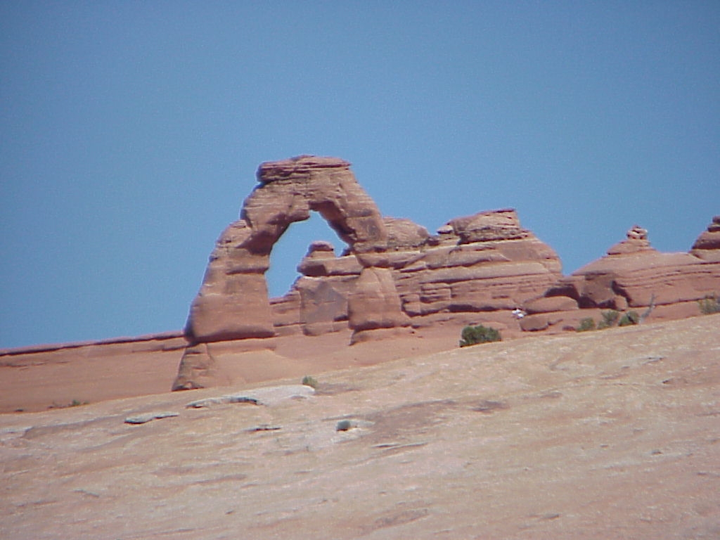
Delicate Arch
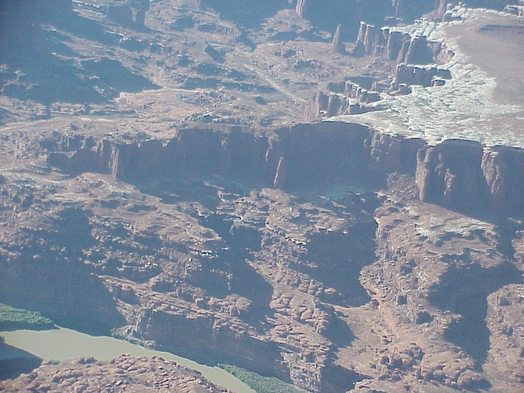
Redtail Aviation
Our Pilot explained that he was retired and his son encouraged him to take this job because flying is something he always loved. We think that his son probably was just trying to get him out of the house, but we were thankful 'cause you should sure tell by his attitude that he loved to fly and wasn't under the usual pressures of trying to make a living. He allowed us considerable latitude in where we went and was obviously enjoying the excuse to fly over the land where he lived his entire life.Its always amazing just how different things look when you back off and look at them in context. That's what looking down from the plane allows you to do.

Colorado River Bridge

Crest

Elephant Hill Back

Elephant Hill Front

Islands from the sky

meander

meander 2

Monitor and Merrimac
MVC-001X

MVC-002X

Two buttes
The Trip Home
We found ourselves quite a bit ahead of schedule as we were leaving the Salt Flats, so we thought it might be interesting to see what Bonneville Salt Flats is all about (after all, we've been hearing that name all our lives). Well, now we know - it's salt see, and it's flat - I guess that's why they call it the salt flats. When we arrived at the end of the paved road, we discovered that the "World of Speed" was holding their land speed trials the day we were there, so we figured we would really have a chance to see how the area is used. Well, after you leave the paved road (onto the salt), you have to follow a line of cones that head off over the horizon (glad it was a rental car with all that salt). At the other end of the cones we found cars parked in an orderly fashion and a rope that extended off in either direction. Our ticket stubs indicated that we could tune our car radio to hear the announcer as we watch the trials progress. All in all it was very laid back - you would really have to be an enthusiast to appreciate it.
Bonneville Salt Flats

Fall Colors 1

Fall Colors 2

Saltair Palace

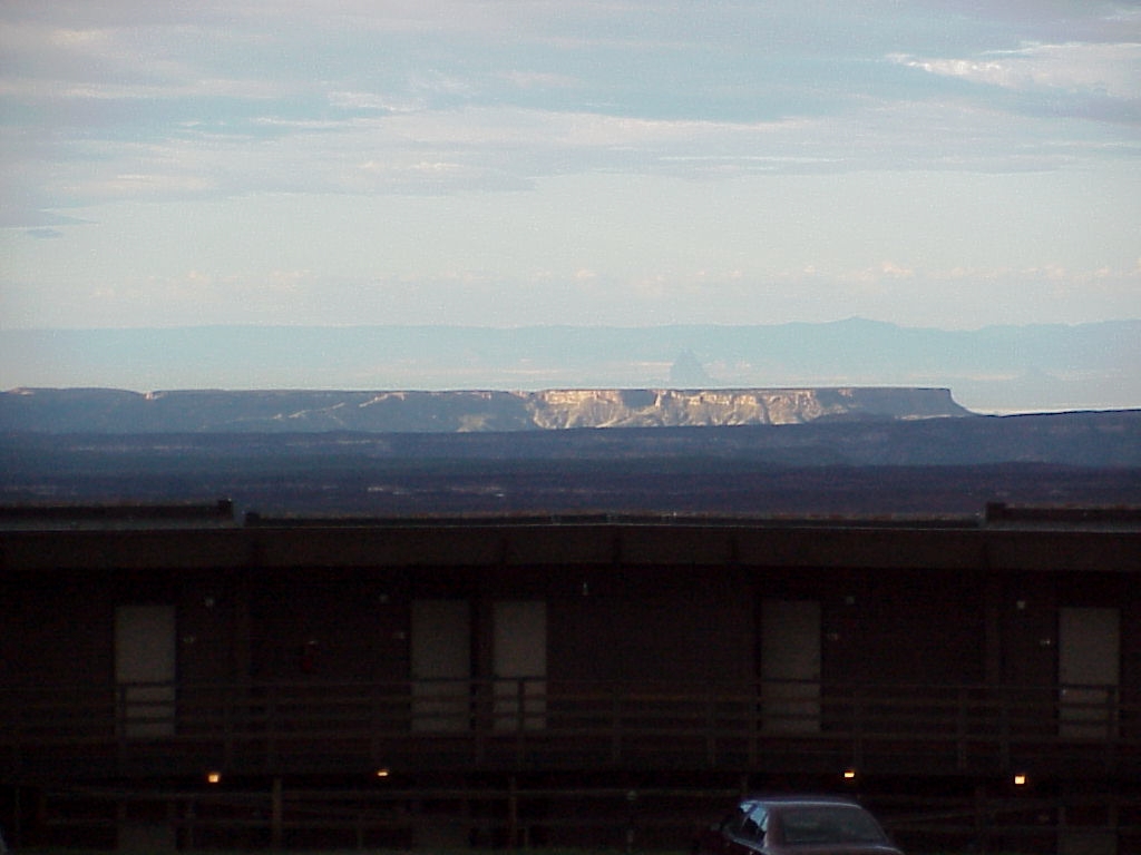
Wendover Cowboy