Vacation 1999
Yellowstone National Park
Getting Started.We rented a 30ft Motorhome and loaded it up with everything we expected to need for a two week "Road trip". We started out by driving out to Jenner and crusing up the coast on Hwy 1. While it is a very pretty drive, it's also a very slow drive. We made it as far as Richardson's RV park at Humboldt State Park in the Redwoods and called it a night. The next day we drove on up to Eureka and took off for Lassen Volcanic National Park and the first stop in our "Death and Destruction tour" (We called it that cause our focus was on Volcanic activity and it sure makes a mess of things. | 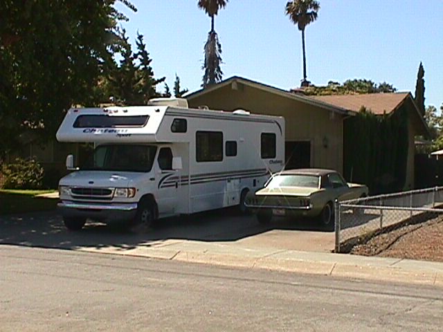
Getting Started | ||||
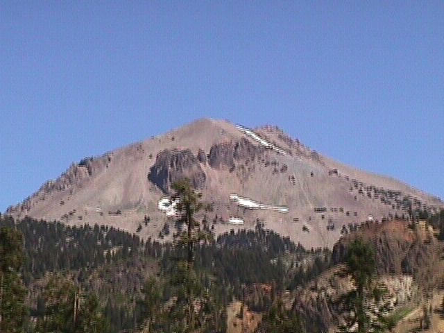
Lassen Volcanic National ParkThe first order of business was to purchase our Golden Eagle pass which would provide us entry to each of the National Parks along the way. Unfortunately, we arrived after the Visitor's Center was closed for the day and had to wait until 9 the next morning. We got to the visitor's center about 5 minutes early and waited for the rangers to arrive. Right at nine we saw this group march right over to the visitor's center and it opened. Since we never saw the rangers, we are left with only one startling conclusion... | 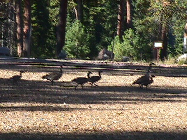
The Rangers? | 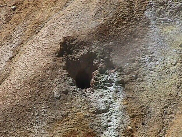
A Steam vent | 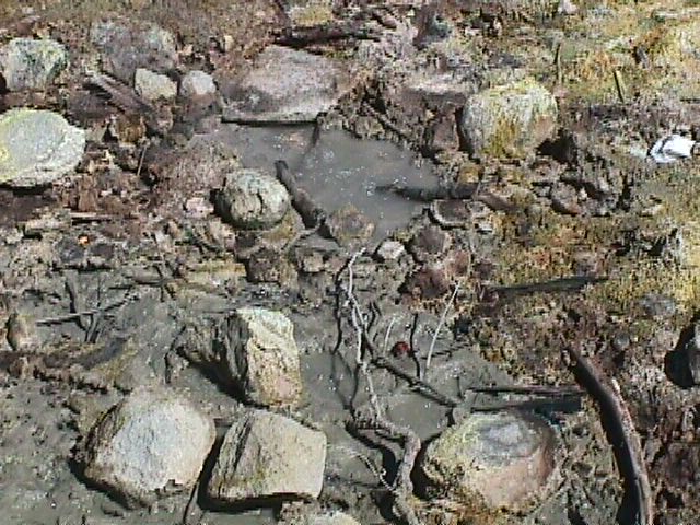
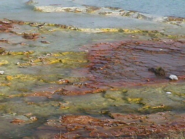
A Boiling Puddle | 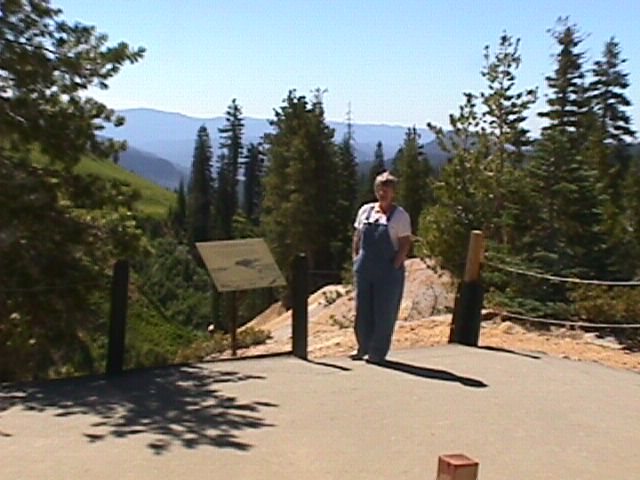
Penny | 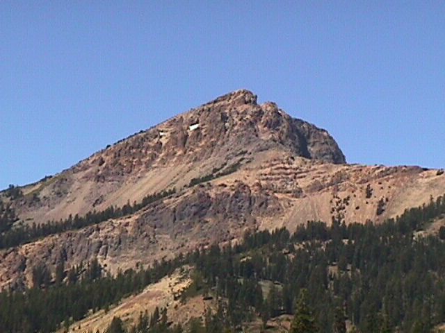
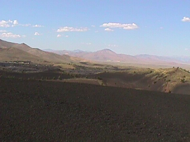
The Volcano |
A Cinder Cone | 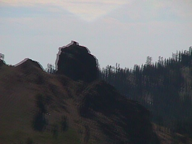
A Hoodoo | 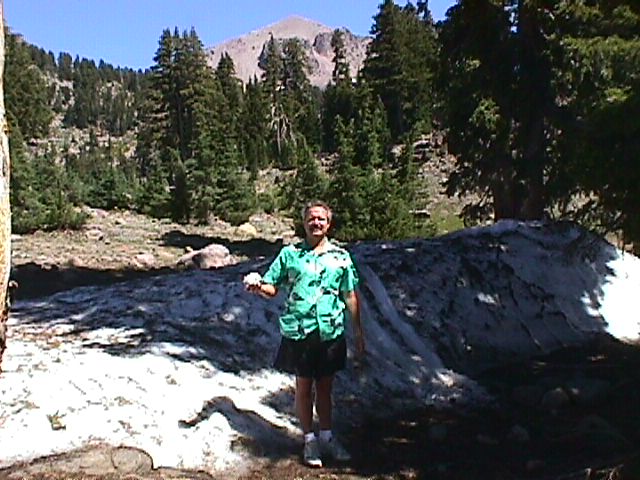
Snow | |||
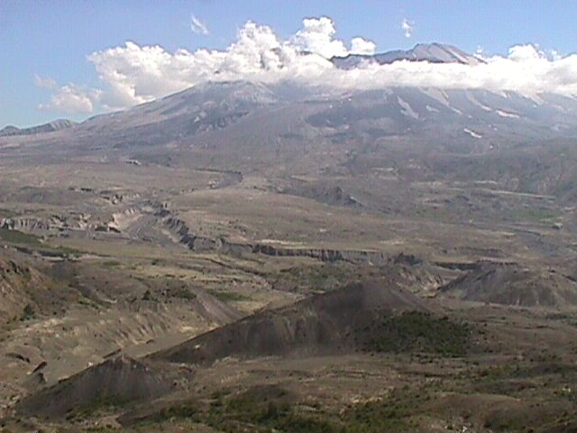
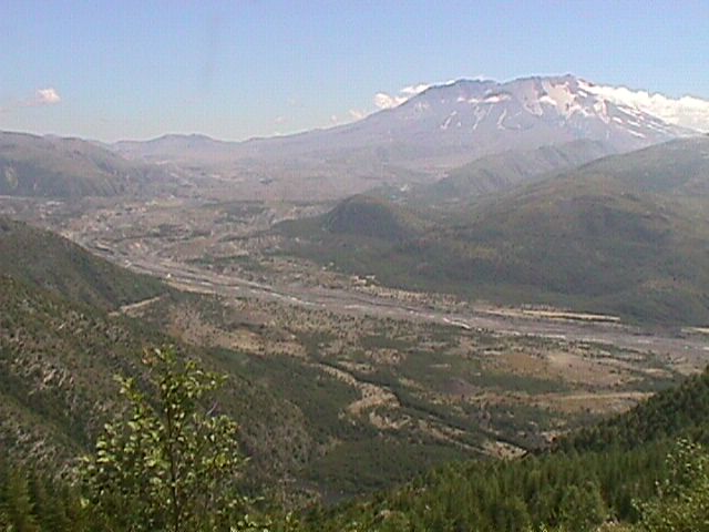
Mount St HelensAfter leaving Lassen, we hopped onto interstate 5 and high-tailed it off to Washington and Mount St. Helens.We had originally planned to visit Crater Lake, but decided that we would rather take some time to enjoy the Columbia River Gourge on the way East and since we had both been to Crater Lake before, it was the obvious candidate for the axe. We got as far as Portland that day. This allowed us to dedicate a full day to Mount St. Helens and it was worth it. When the mountain blew, it took everything within a 25 mile radius with it. Even 20 years latter it looks like a bomb was dropped or something. Everything within the first 6-7 miles was just totally obliterated by the flow of lava and mud (remember that it was covered by snow before the eruption, from 6-15 miles the winds were so great that all the trees were just flattened - they were not burned because the winds blew out the flames, from 15 to 25 miles everything was burnt. Dead trees as far as the eye can see in all directions. Much of the land surrounding the mountain was/is owned by Weyerhouser lumber, so they have a vested interested in replanting forests as quickly as possible. They reached an aggreement with the Forest Service, however, to leave one full side alone for nature to recover on its own. There are signs all along the road explaining when the new trees were planted and reminding you of the volcano (I think Weyerhouser wants to make sure people don't start thinking that the desolation is a product of clear cutting or something). | 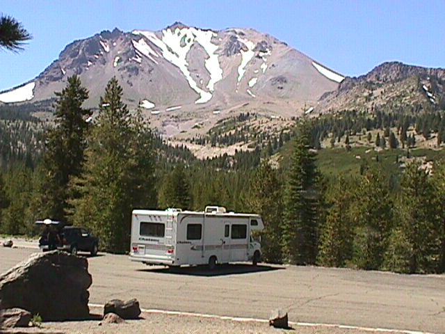
First look | 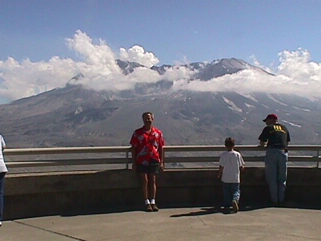
Bill at Observatory | 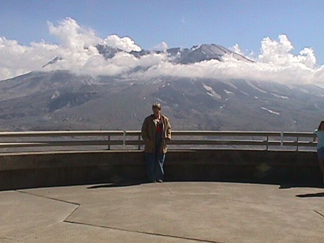
Penny at Observatory | 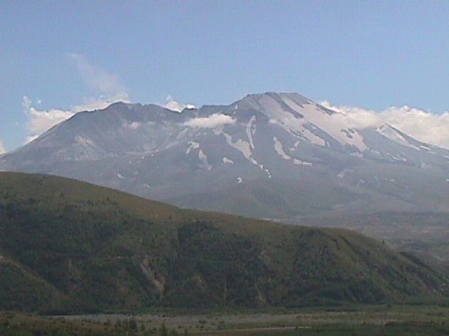
The Mountain | 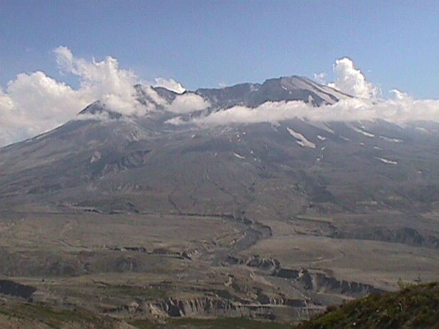
Up close |
Mudflow into Spirit Lake | 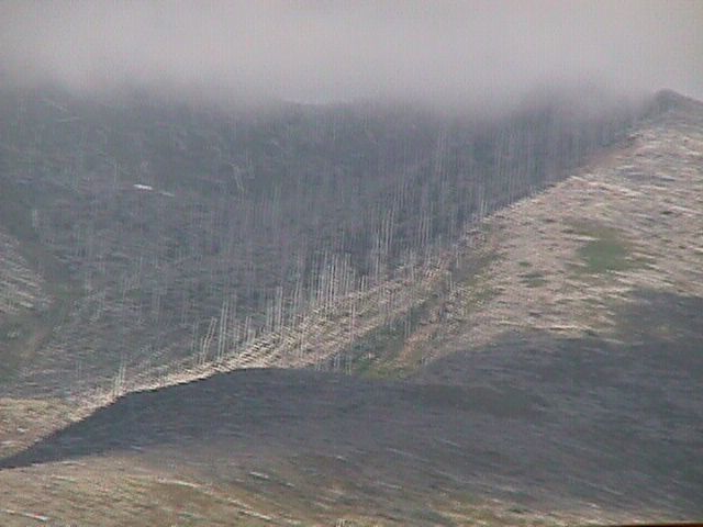
Blow Zone vs Burn Zone | 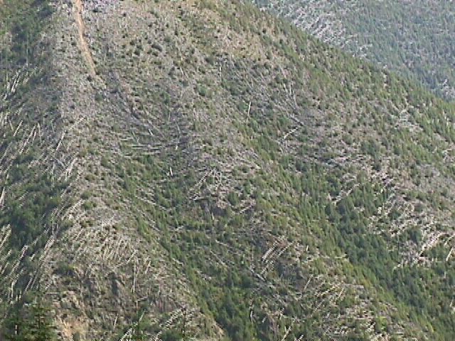
More Downed Trees | 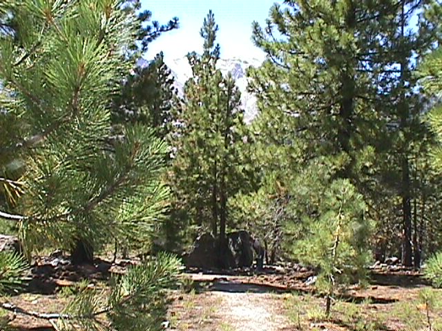
Rock thrown from Volcano | 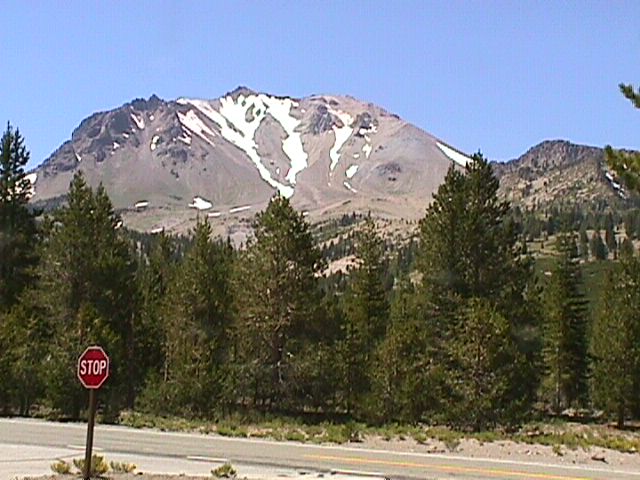
Looking back at the Volcano | |
The river | 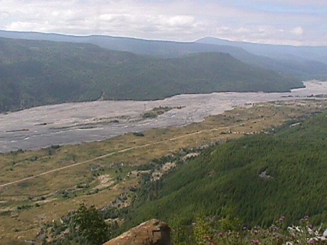
More Washdown in river basin | 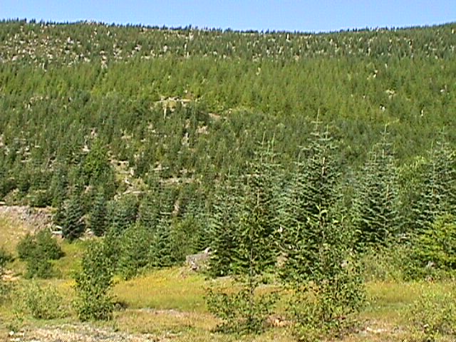
Weyerhouser at work | 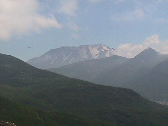
Recovery | 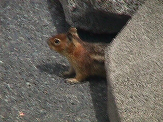
Chipmonk | |
Columbia River GorgeAfter all that, it was nice to see Trees and green stuff again. We took the Scenic drive along the Columbia River Gorge all the way across the top of Oregon. Didn't take any pictures of the gorge itself (too big - like trying to take a picture of the Grand Canyon, but the scenic drive was very pretty. The Bridge in the picture is one that has a story about a giant rock that came tumbling down while a wedding was being performed on the bridge. The rock landed under the bridge and made a dramatic impact. Penny was quit taken by the Lavatories at the Visitor's center at the beginning of the drive - don't see all that marble around much any more. | 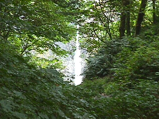
the Falls | 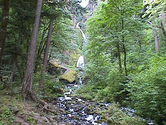
More Falls | 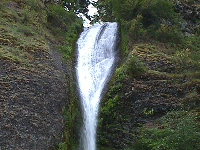
Horsetail Falls | 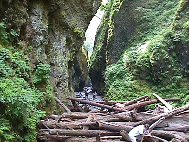
Oneonta Gorge | 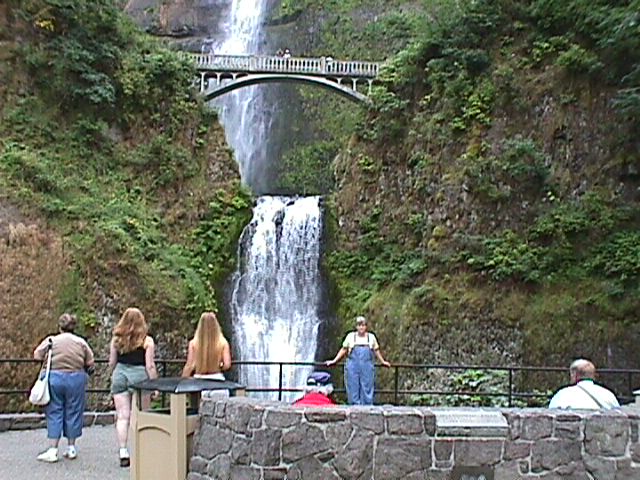
Multnomah Bridge |
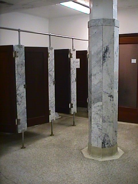
Crown Point Bathroom | 
Crown Point Bathroom Stall | ||||
Steve and MargaretNext, On to Boise Idaho and Steve's house. | 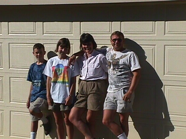
The Family | 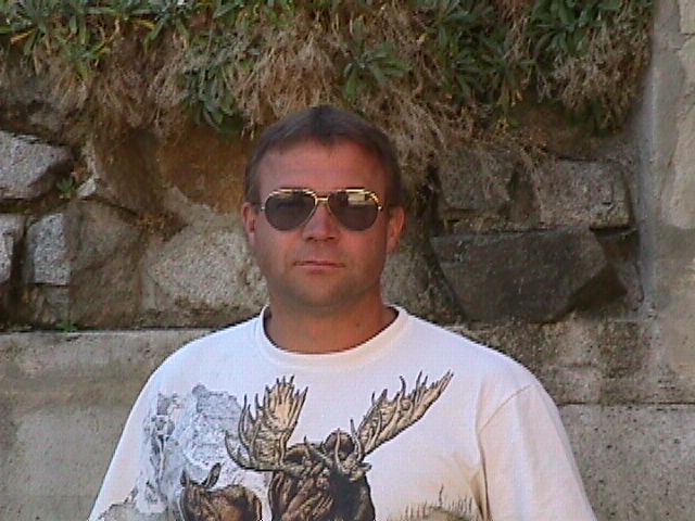
Steve | 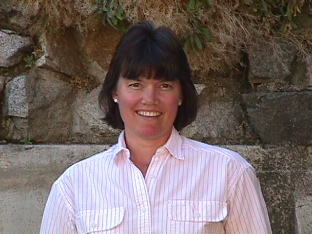
Margaret | 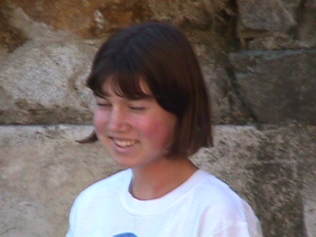
Kristine | 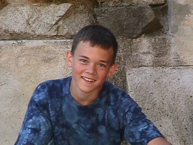
Brian |
Cindy | |||||
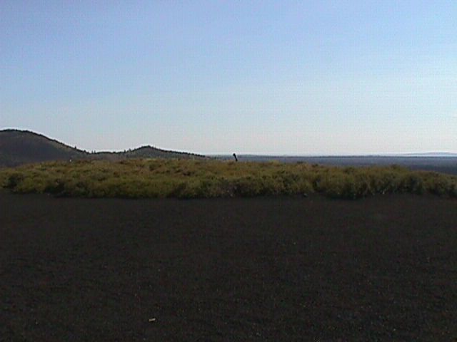
Craters of the MoonSteve promised us that we were in for a real treat on the next part of our journey. He explained that we would be driving through miles of beautiful farmland. Right away we knew we were in trouble - the road ahead looked like something out of Vanishing Point. If this was beautiful farmland, it obviously had yet to realize it's full potential. Anyway, we drove on to Craters of the Moon National Park for some up close looks at lava. I never realized just how much volcanic activity there is in the continental United States. Once we got to Craters of the Moon, we started to realize that land really didn't look so bad. In fact, this place made Mount St. Helen look like it was well on the road to recovery. They did have a cute little baby volcano (maybe it was they display model the gods used) that you could walk right up to (and into). The had a slightly larger one that was actually a Cinder cone - which we found out is just a volcano that got burried in it's own ash. I took a picture of the Motorhome from the top to give an idea of it's size - then I tried my hand at a panarama. They also had some paths you could take to walk out amoungst the lava and I noticed that some of it created really cool patterns it managed to take on the look of Curtains, Tree bark, wood with grain and so on. There were some lava tubes that had caved in to create caves and tunnels and I went in a couple. | 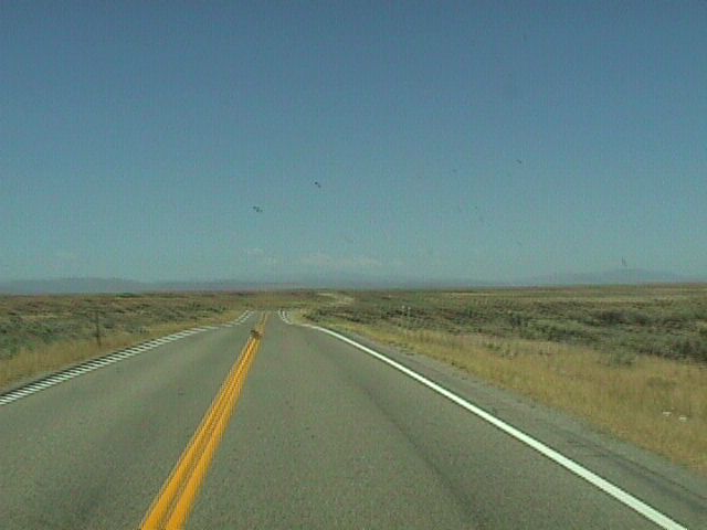
Vanishing Point | 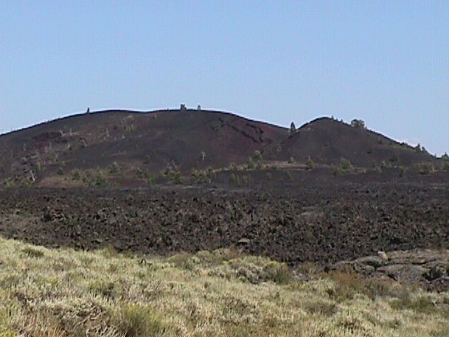
Here it comes | 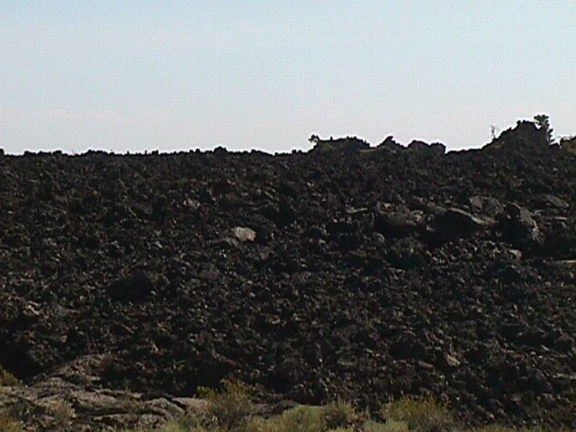
Close up | 
Sales Sample Sized Volcano | 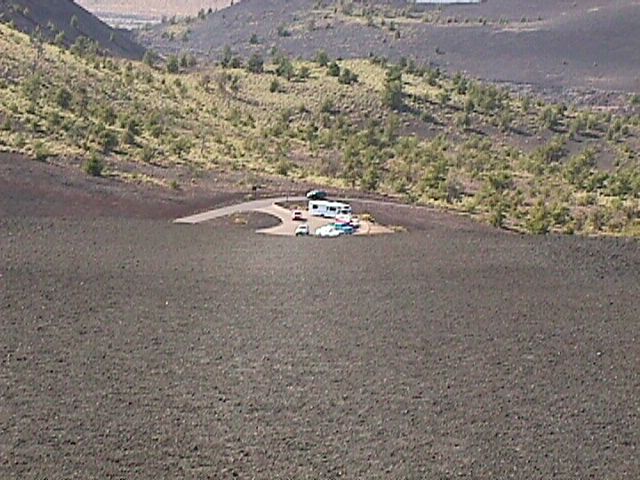
Motorhome from the CinderCone |
Panarama | 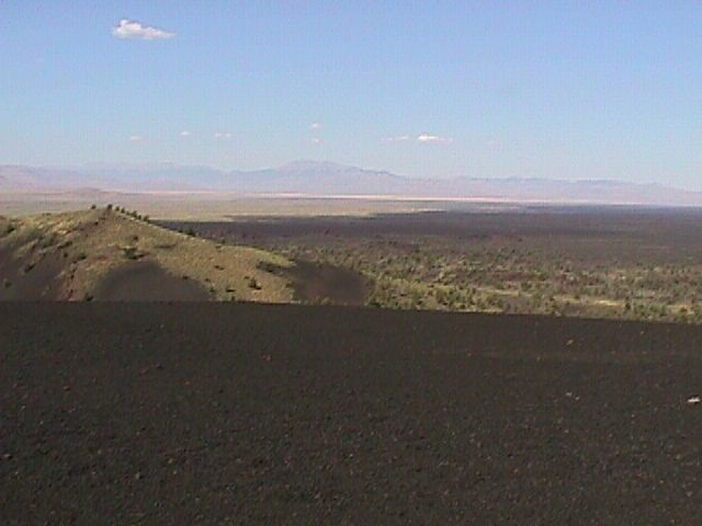
Panarama | 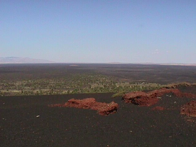
Panarama | 
Panarama | 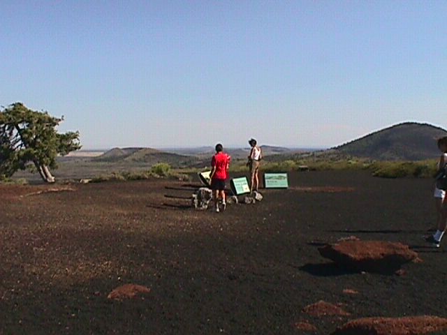
Panarama | |
Panarama | 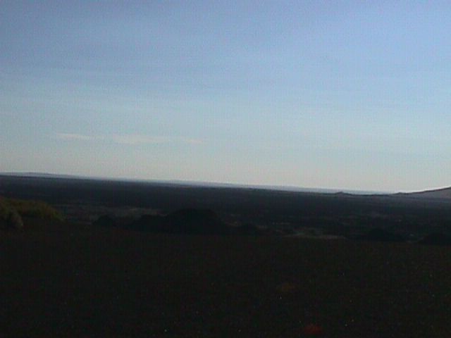
Panarama | 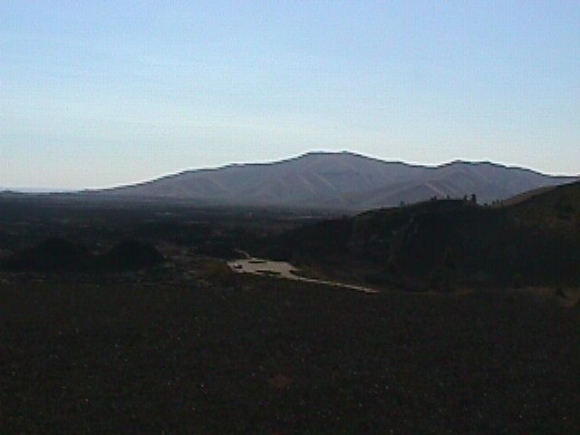
Panarama | 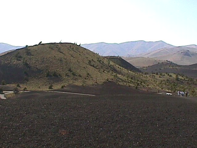
Panarama | 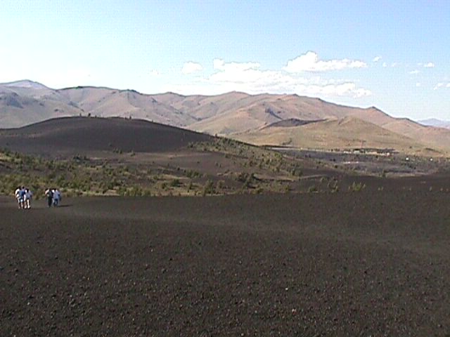
Panarama | |
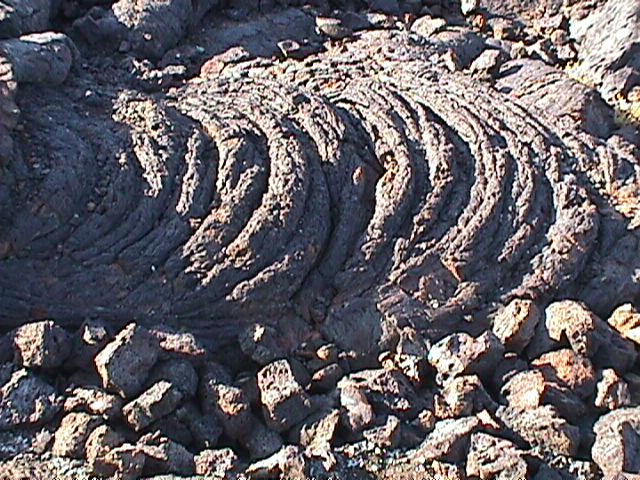
Curtains | 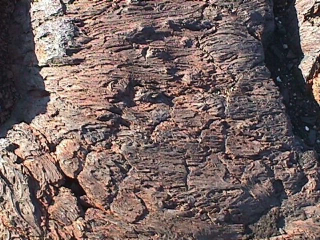
Bark | 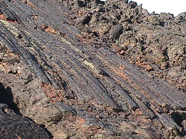
Grain | 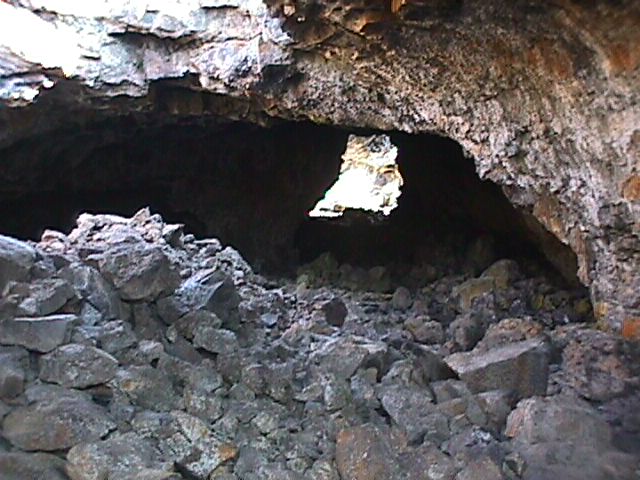
Cave | 
Tunnel | |
EBR1
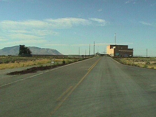
Steve told us about another stop that we just had to make on our way to Yellowstone (since it was almost exactly the half way point, I thought it was a great idea). Near the town of Arco, Idaho the State gave quite a large amount of land over to the Feds to do some Nuclear research. The Feds wanted to prove you could use Nuclear power for generating power. The plan was to build the first power producing Breeder Reactor and use it to power an entire town. Arco thought this was their chance to tap into the motherload and just knew in their hearts that shortly they would be booming from a town of 780 that was just scraping by to ... well, the sky was the limit. As it turned out, they didn't have the infrastructure to support all the support services the Feds required and so the Feds ended up building their own facilities. Although Arco is still the first town ever to have been powered by nuclear power, it is also still a town 780 that is barely scraping by. The only thing that appeared to have been an addition to this town as a result of this experiment is a drive-in called the Atomic Burger (we didn't try it). At EBR1, they have their reactor which is now decomissioned and is only their for the tourists and a "proof of concept" reactor they built to power an airplane. This reactor was never tested as the project lost it's funding just before completion. It would have required quite a large plane though as it weighs over 2 tons.
| 
EBR1 and pile | 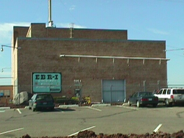
EBR1 | 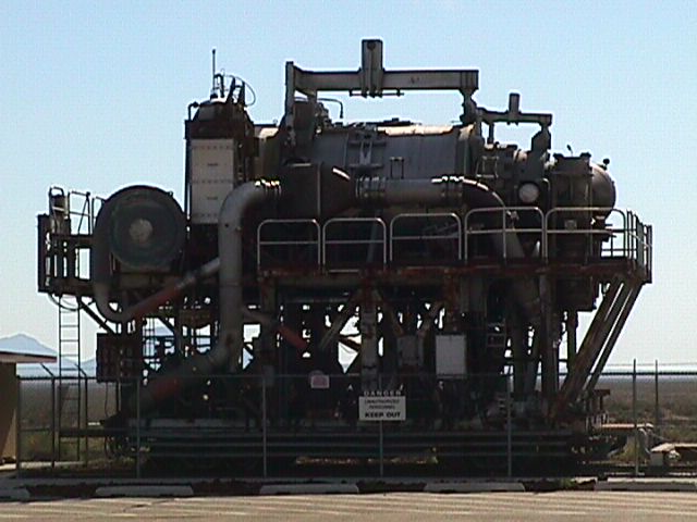
pile for atomic airplane | 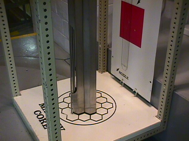
EBR1 core | |
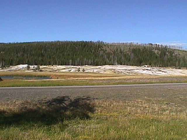
Yellowstone National ParkWe spent 4 days in Yellowstone, so the chronology gets a little less meaningful. I'll just go alphabetically, but divide it between geology and Animals. Yellowstone was the very first National Park and was established by President Roosevelt. | 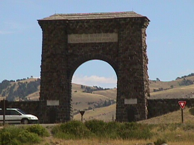
Yellowstone Arch and Plaque | 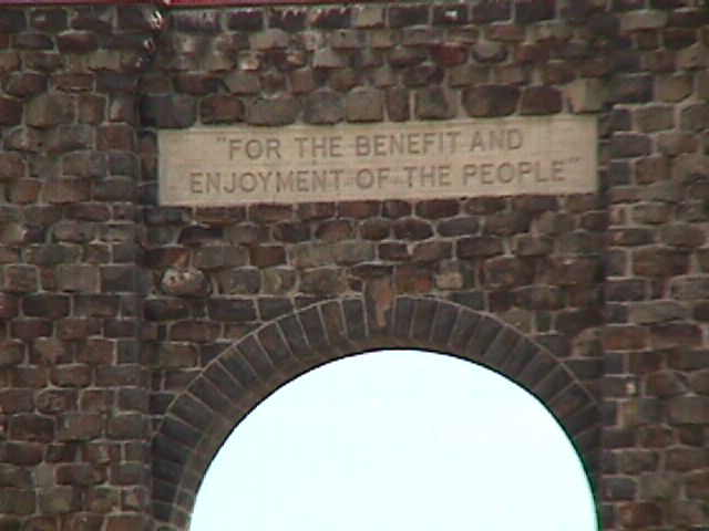
Just the Plaque | 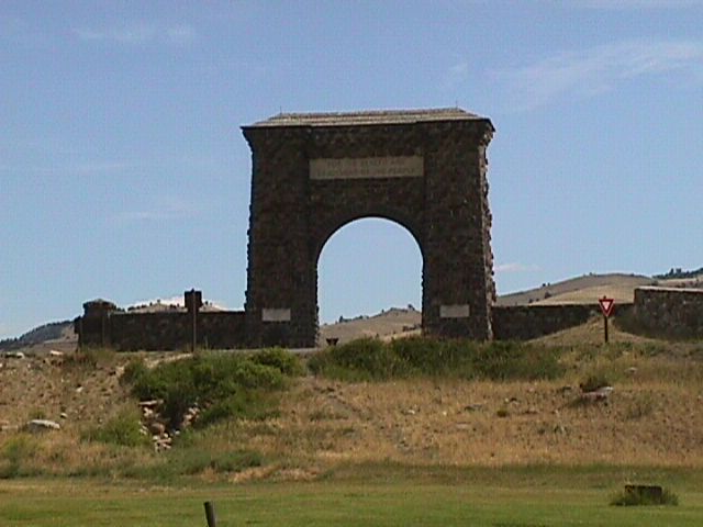
Yellowstone Arch | ||
AnimalsOne of the things that is stressed over and over in Yellowstone is that this park is here for the animals. It is their home and you are a guest - keep out of their way. Consequently, you often will have to stop while driving through the park and wait for one of the residents to clear the way. It is great fun seeing all the different animals right up close (but not too close - they are wild after all). | |||||
Bears | 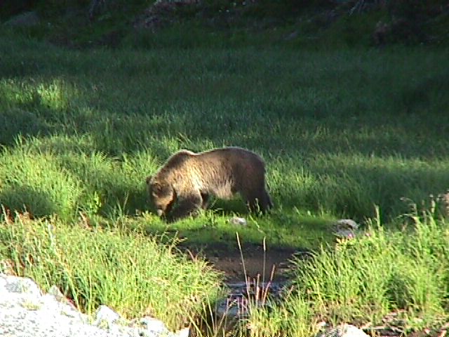
Bear | 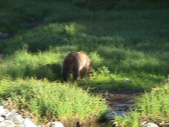
Bear | 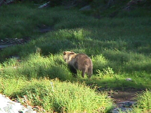
Bear | 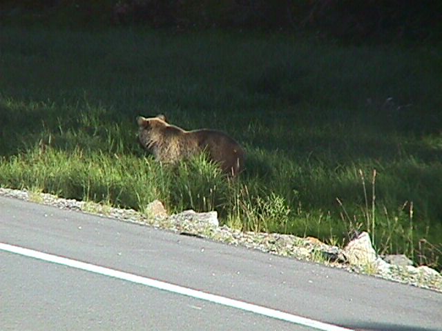
Bear | |
Buffalo | 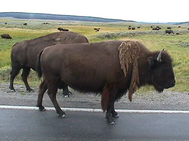
Buffalo | 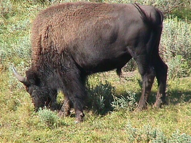
Buffalo | 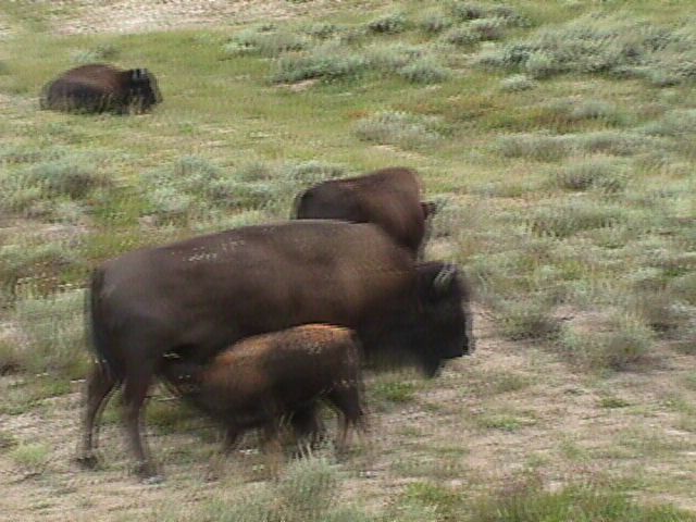
Buffalo | 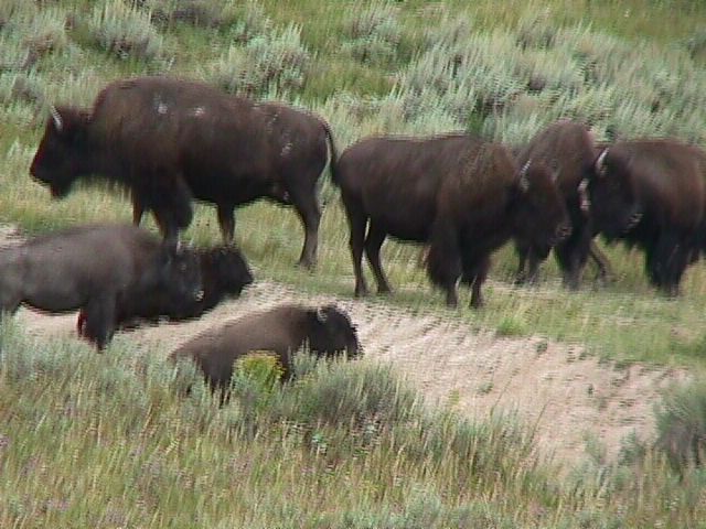
Buffalo | 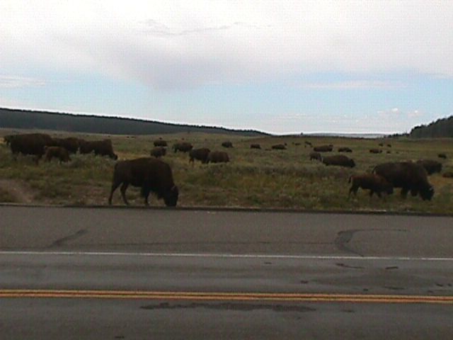
Buffalo |
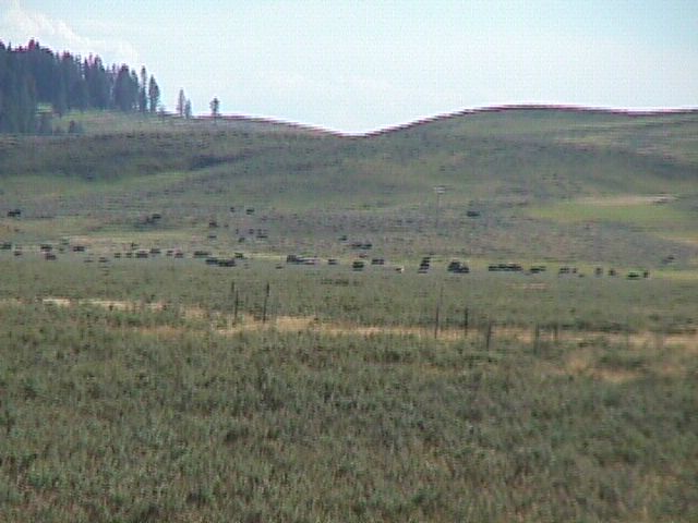
Buffalo | 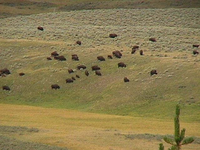
Buffalo | 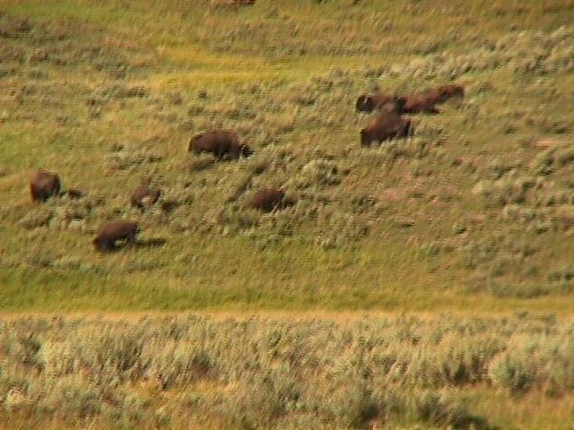
Buffalo | 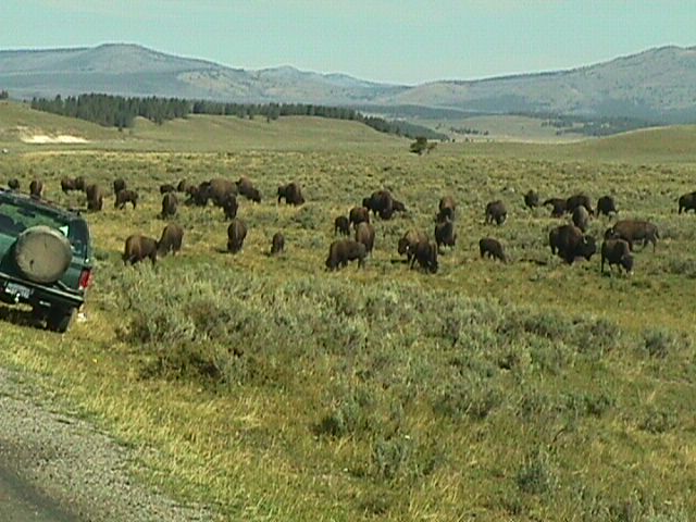
Buffalo | ||
Continental Divide (Bill and Penny)At the Continental divide of course. This is the point at which water flows the "wrong way". Well, I suppose that depends on your perspective. All rivers East of this point are destined to end up in the Atlantic ocean (some by way of the Gulf of Mexico and others directly) while all rivers West of this point will eventually find their way to the Pacific ocean. | 
Bill | 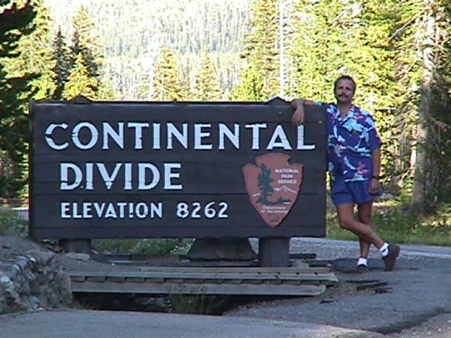
Bill | |||
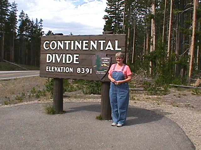
Penny | 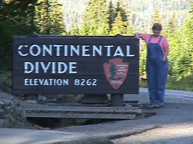
Penny | 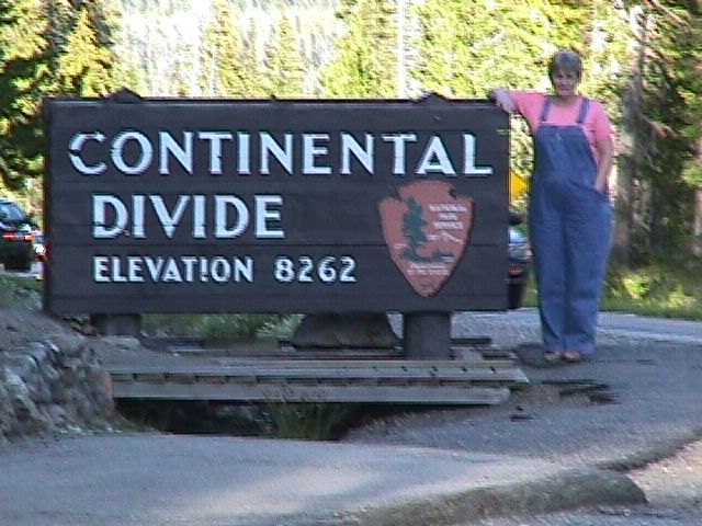
Penny | |||
CoyoteIt is really hard to tell the difference between a coyote and a wolf. They both have similar coloring. The difference is mainly that coyotes are smaller and more slight with slender legs, pointy ears and a narrow muzzle. | 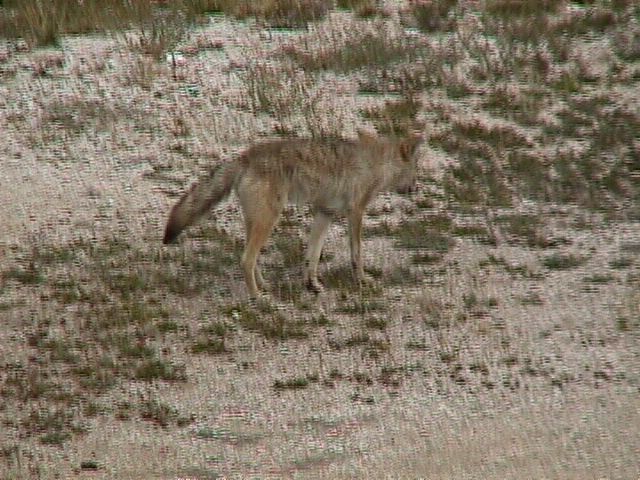
Coyote | ||||
DeerThere are a few different types of deer in Yellowstone, these could even be Elk. I didn't think they had the distinctive dark head and neck for an Elk, so I decided they weren't. | 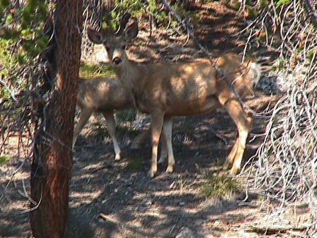
Deer | 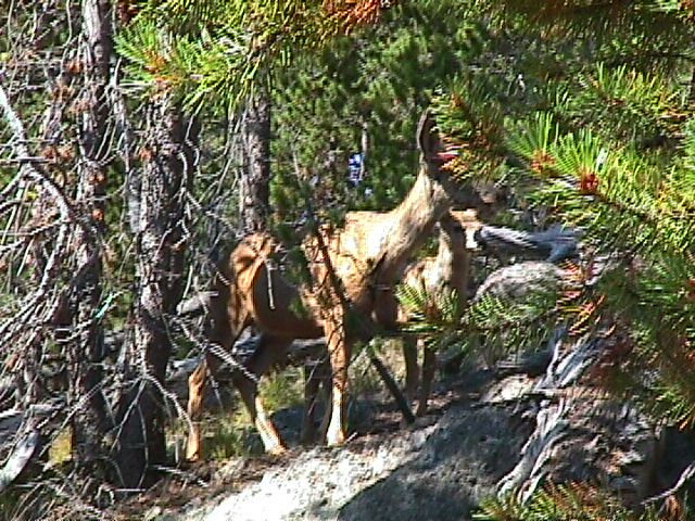
Deer | |||
ElkThe real thing. | 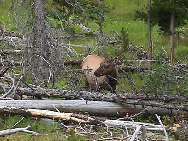
Elk | 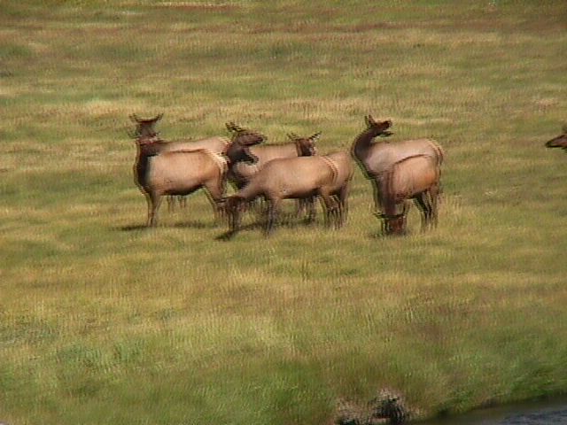
Elk | 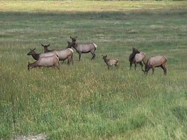
Elk | 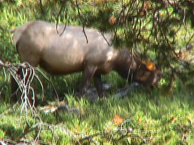
Elk | 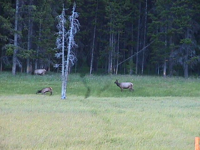
Elk |
Marmot | 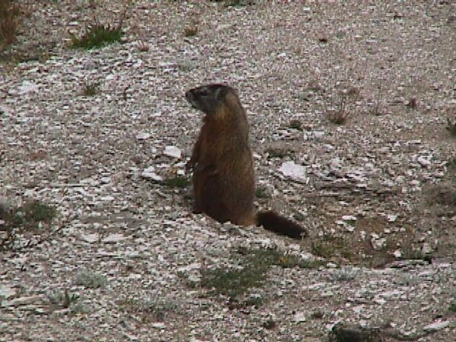
Marmot | 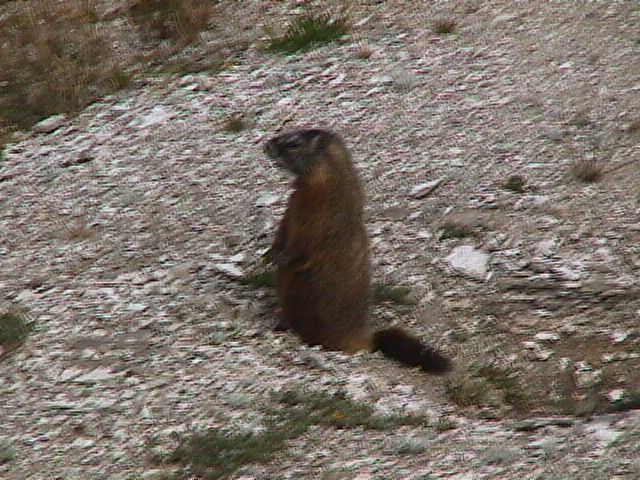
Marmot | 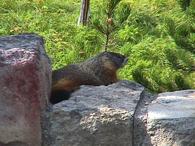
Marmot | ||
Raven | 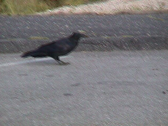
Raven | ||||
WolfOK, he could just as easily be a coyote too, but we wanted to see a wolf and the picture was blurry anyway. He really does look thicker than the other one, so I say he is a wolf. | 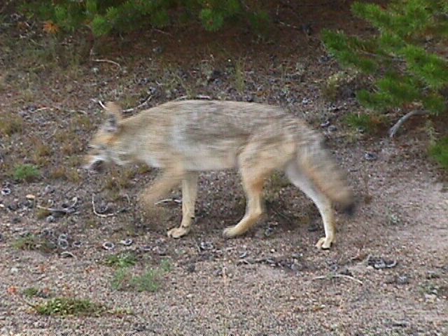
Wolf | ||||
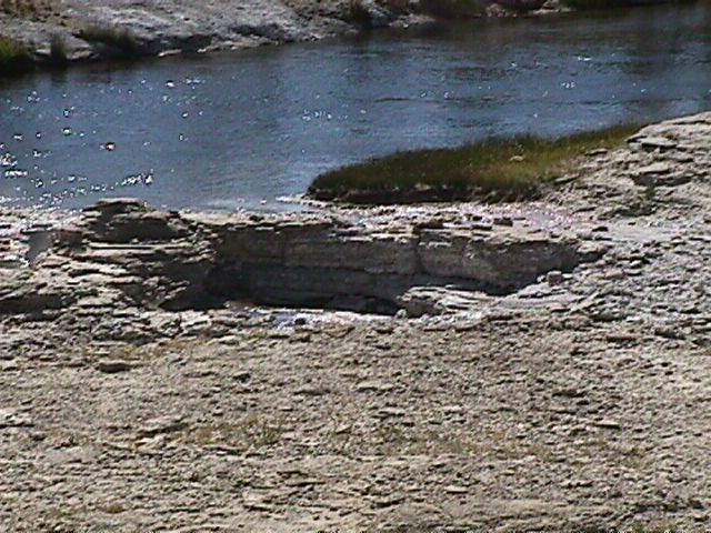
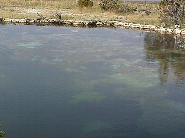
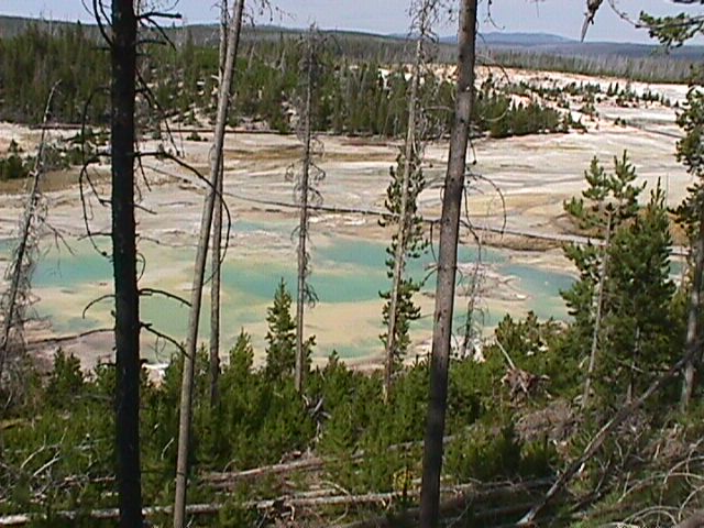
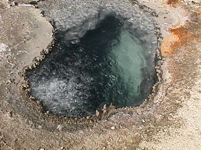
Geology and Geo-Thermal ActivityEveryone knows about old faithful, but how 'bout all the other great stuff they have. | 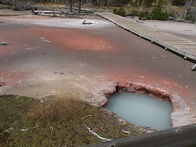
Artist Paintpot | 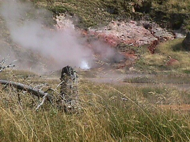
Artist Paintpot | 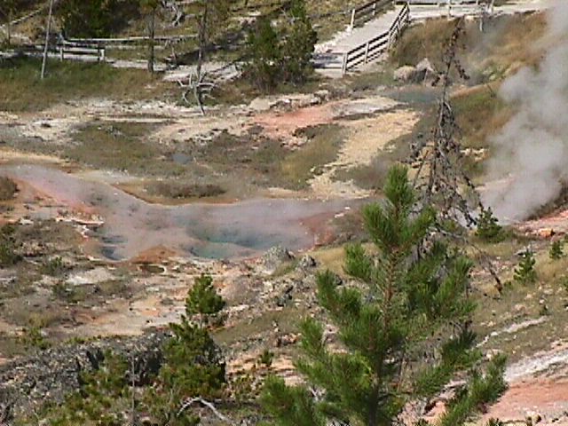
Artist Paintpot | 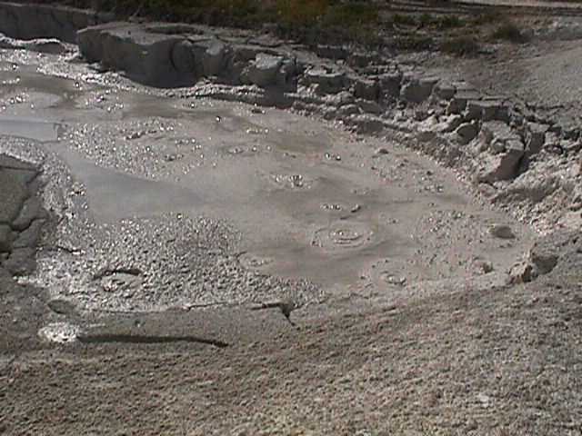
Artist Paintpot | 
Beehive Geyser |
Bubbly Pool | 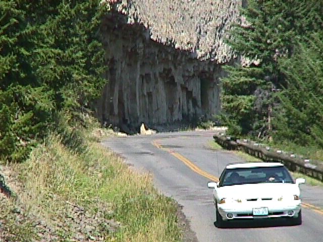
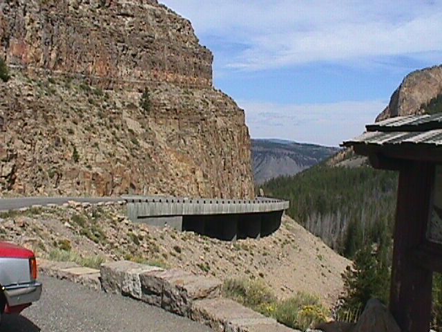
Cliffs over road | 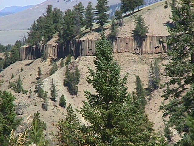
Cliffs | 
Colorful Cliffs | 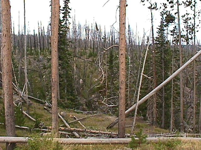
Dead Trees (from fire in 1988) | |
.JPG)
Dormant Geyser (not) | 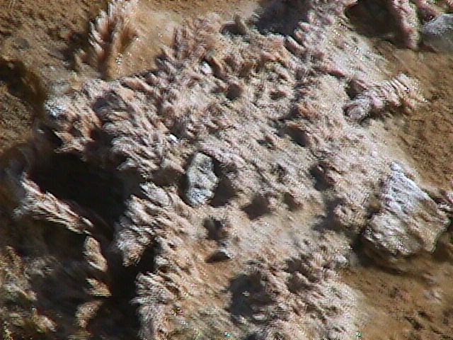
Feathery stuff | 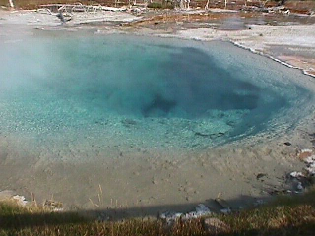
Fountain Paintpot | 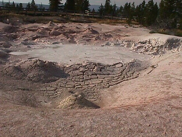
Fountain Paintpot | 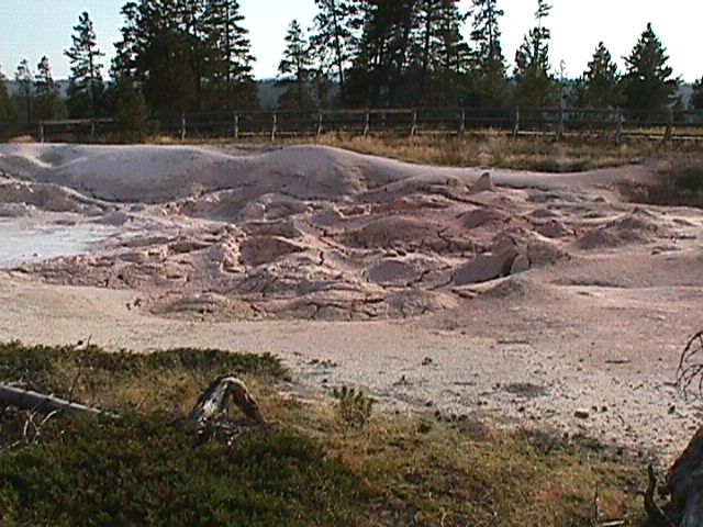
Fountain Paintpot | |
Fountain Paintpot | 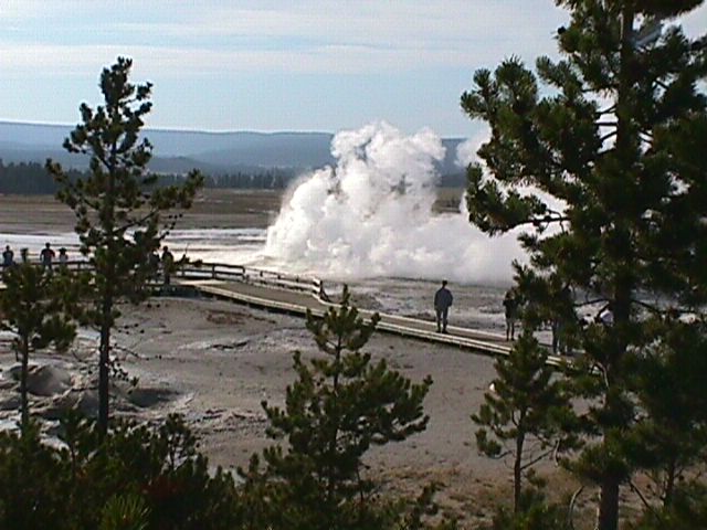
Fountain Paintpot | 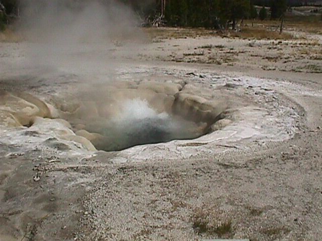
Geyser | 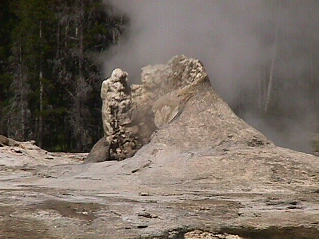
Giant Geyser | 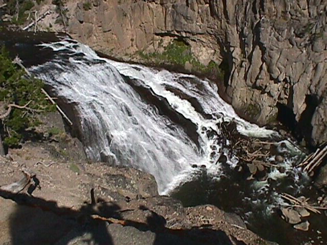
Gibbon Falls | |
Golden Gate | 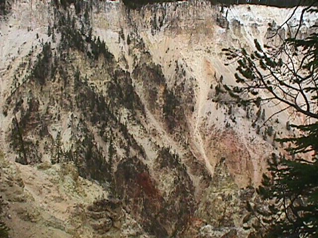
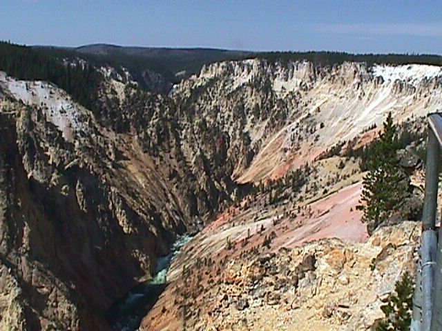
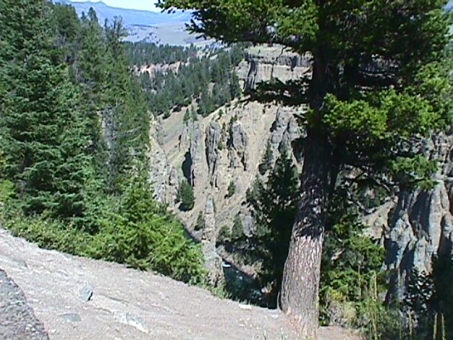
Grand Canyon of Yellowstone | 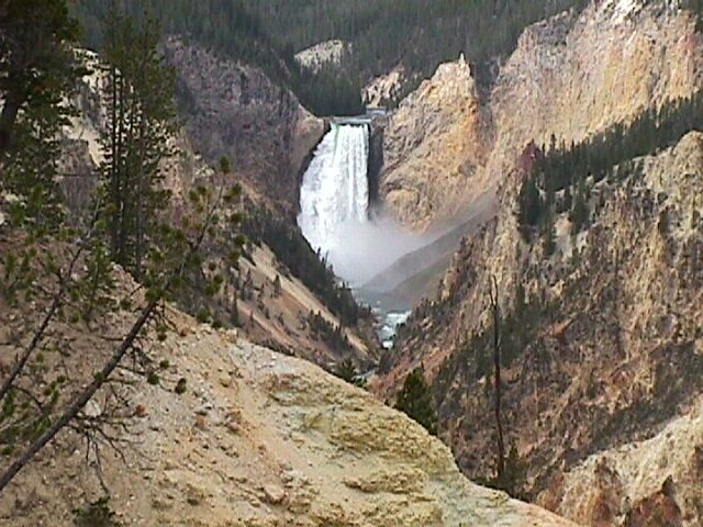
Grand Canyon of Yellowstone | 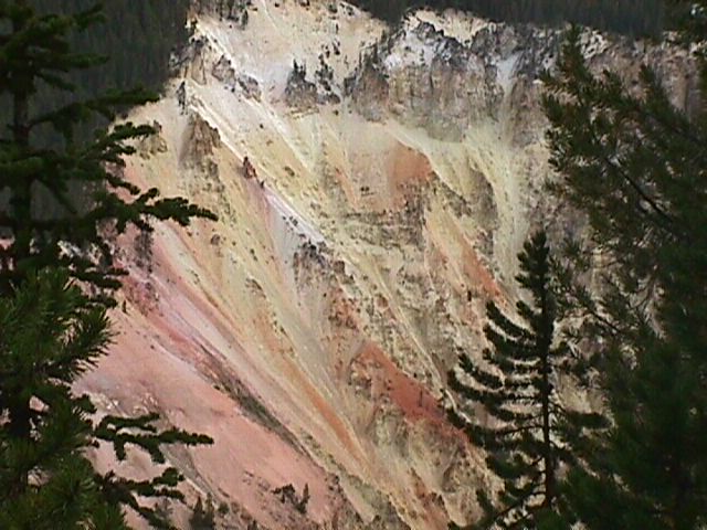
Grand Canyon of Yellowstone | 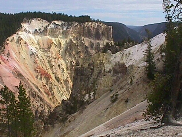
Grand Canyon of Yellowstone | |
Grand Canyon of Yellowstone | 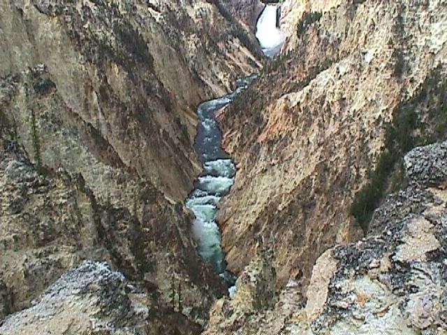
Grand Canyon of Yellowstone | 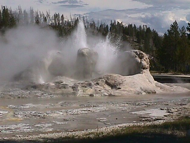
Grotto Geyser | 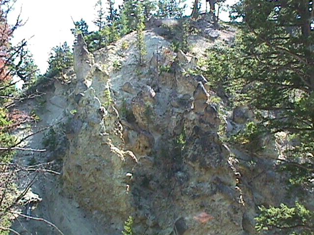
Hoodoos | 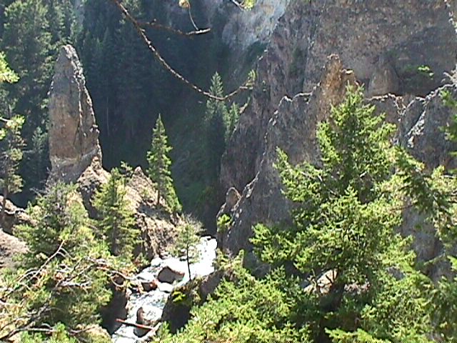
Hoodoos | |
Hoodoos | 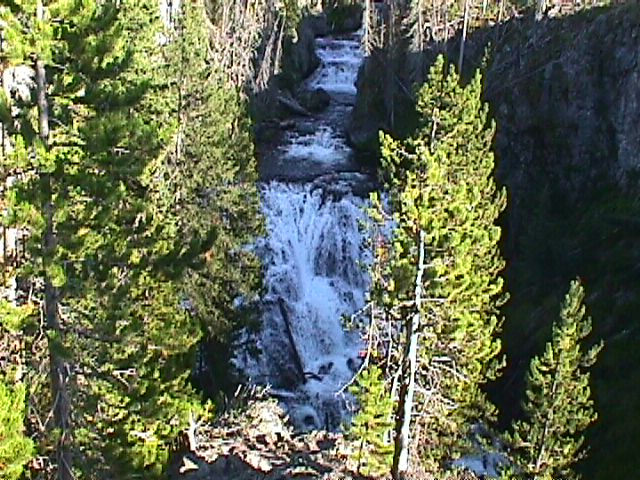
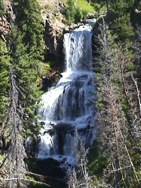
Kepler Cascades | 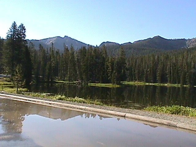
Lake | 
Lake | 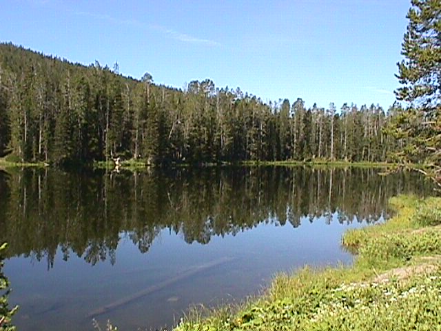
Lake | |
Mammoth Springs | 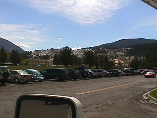
Mammoth Springs | 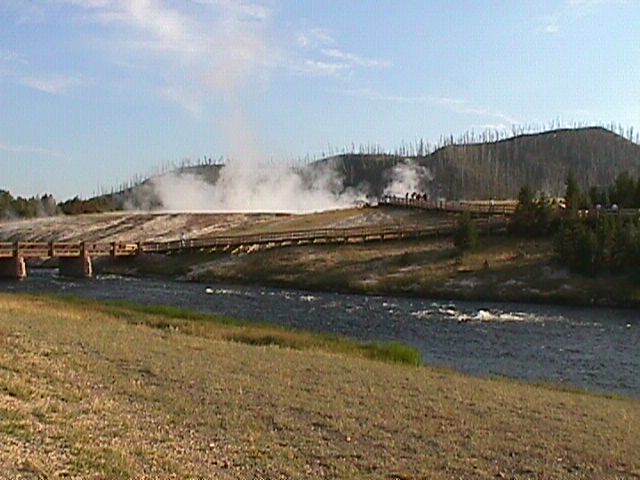
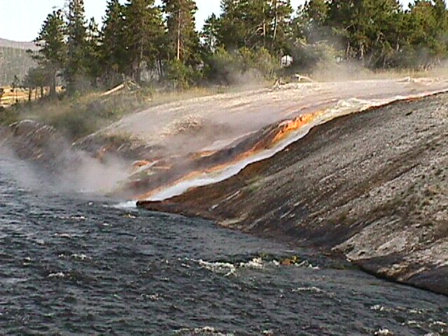
Midway Geyser Walk | 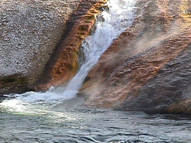
Midway Geyser Walk | 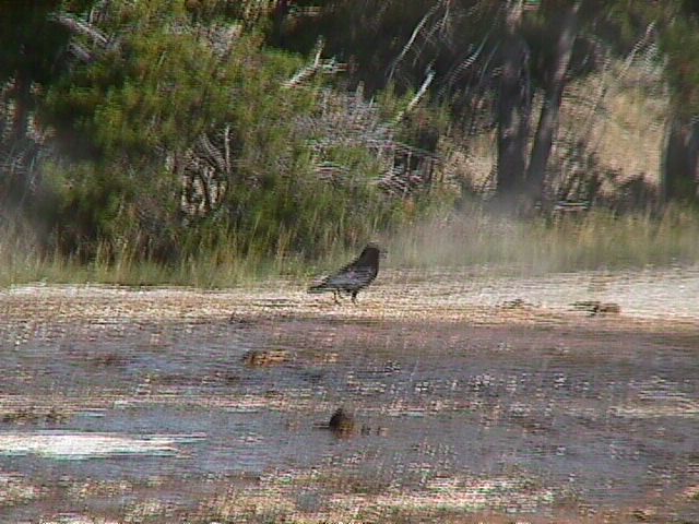
Midway Geyser Walk | |
Midway Geyser Walk | 
Midway Geyser Walk | 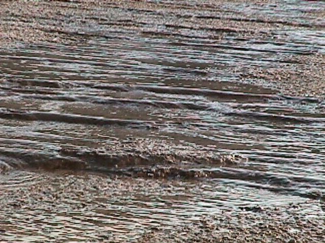
Midway Geyser Walk | 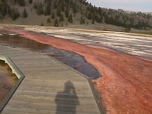
Midway Geyser Walk | 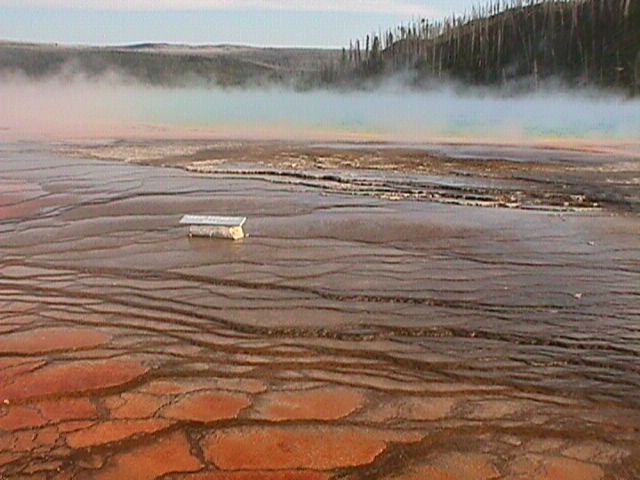
Midway Geyser Walk | |
Midway Geyser Walk | 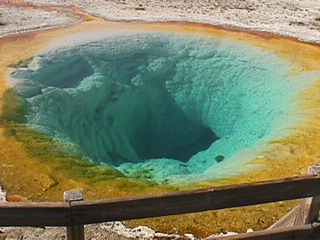
Morning Glory | 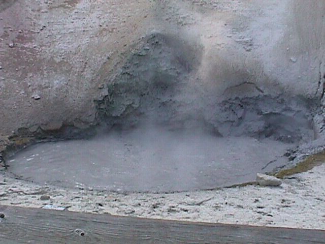
Mud Volcano | 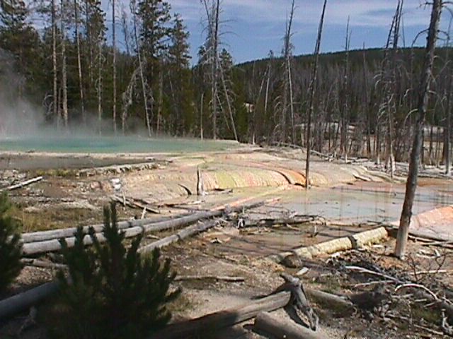
Norris | 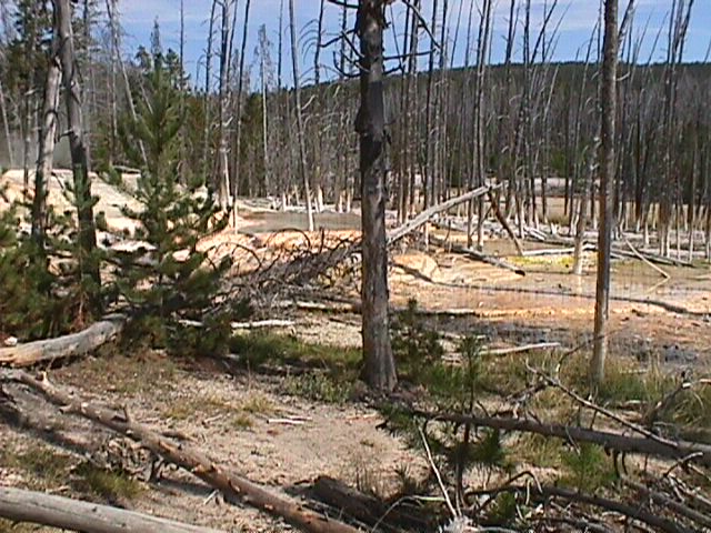
Norris | |
Norris | 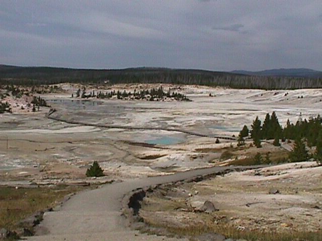
Norris | 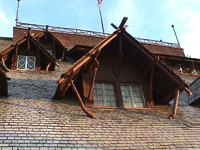
Old Faithfull Inn Window | 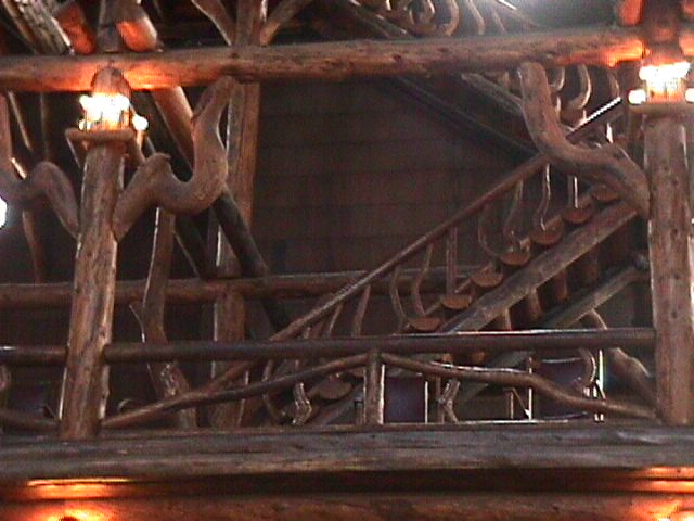
Old Faithfull Inn | 
Old Faithfull Inn | |
Old Faithfull Trail | 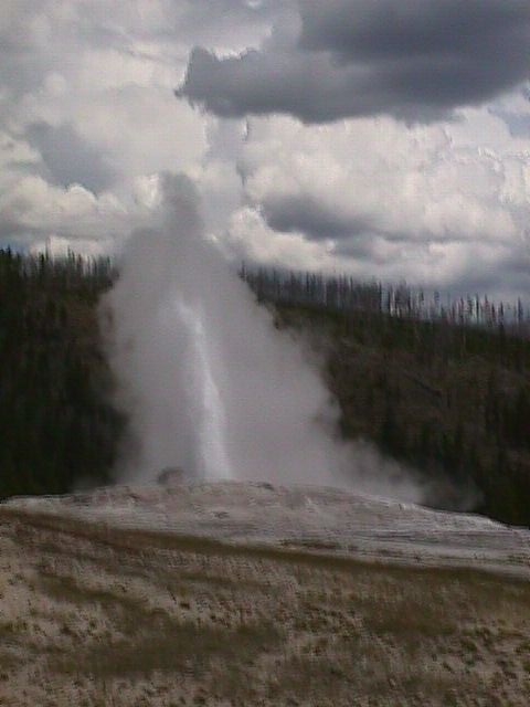
Old Faithfull | 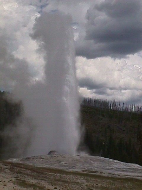
Old Faithfull | 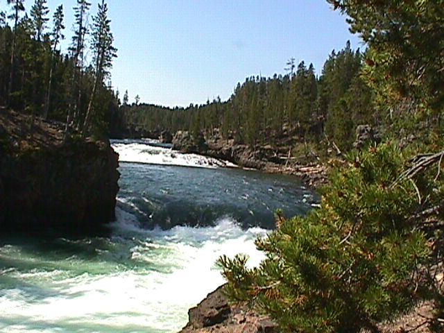
Over the Falls | 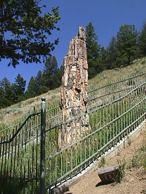
Petrified Tree | |
Pool | 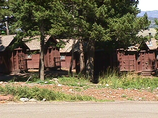
Roosevelt Cabins | 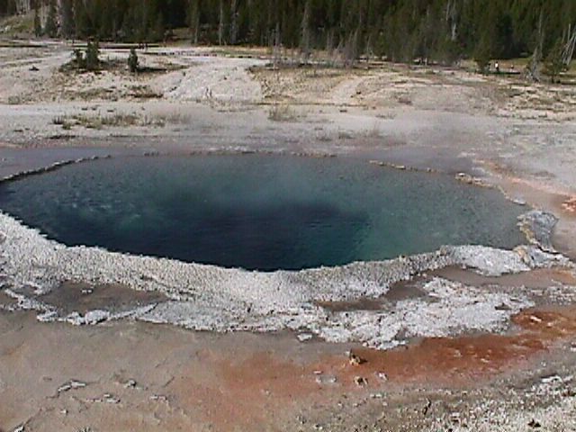
Round Spring | 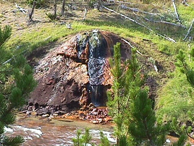
Seeping Rock | 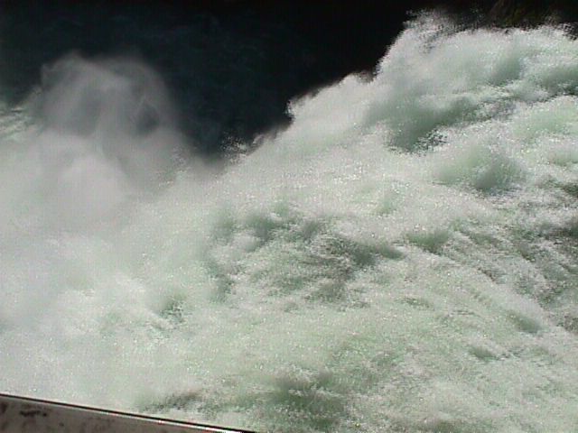
Top of Water | |
Undine Falls | 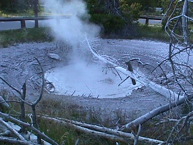
West Thumb Geyser | ||||
CodyWe took a day trip out the East entrance to see the town of Cody. It was founded by Buffalo Bill Cody. We saw some very impressive rock formation along the way. The Western museum at Cody was nice too. | 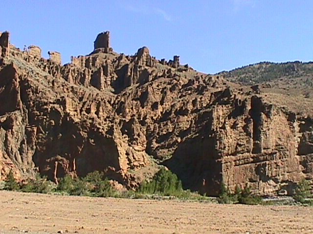
A really cool Hoodoo | 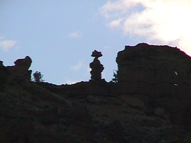
More Hoodoos | 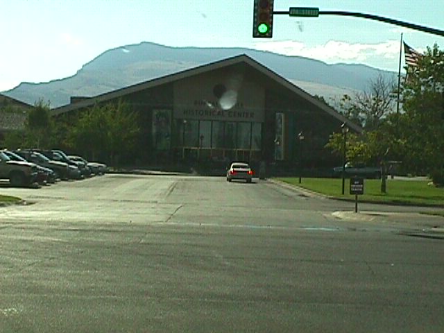
Buffalo Bill Center | ||
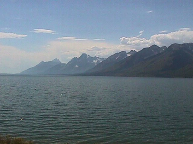
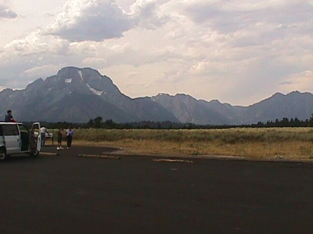
Grand TetonsGrand Tetons was a really nice drive and, for the most part, escaped the fires that ravaged Yellowstone. If you lived in the area, it would a great place to camp. The mountains are large, but after all we just saw, I wasn't all that impressed. The Grand Tetons are actually visible from Yellowstone and this is from where the first two pictures were taken. | 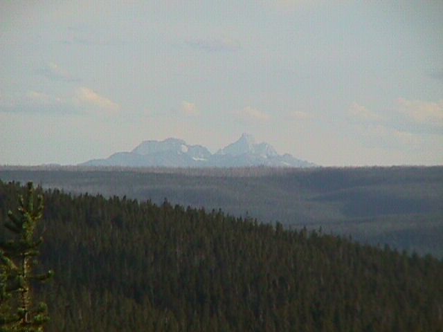
Grand Tetons from Yellowstone | 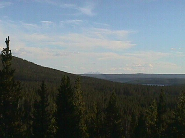
Grand Tetons from Yellowstone | |||
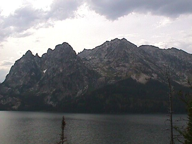
Grand Tetons | 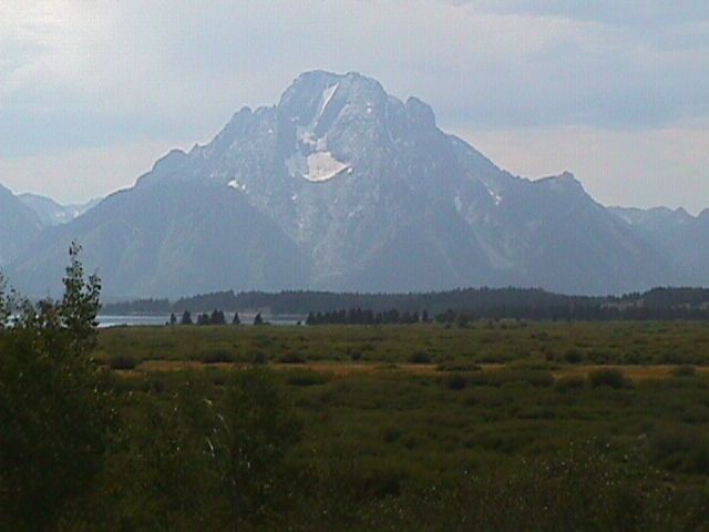
Grand Tetons | 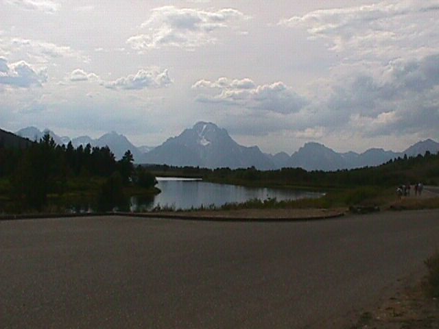
Grand Tetons | 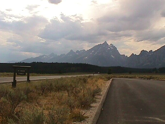
Grand Tetons | 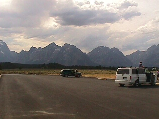
Grand Tetons | |
Grand Tetons | 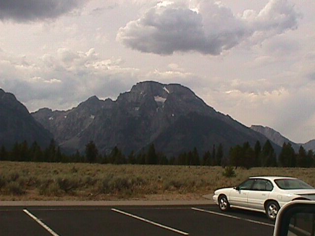
Grand Tetons | 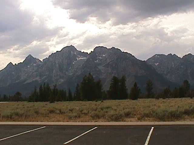
Grand Tetons | 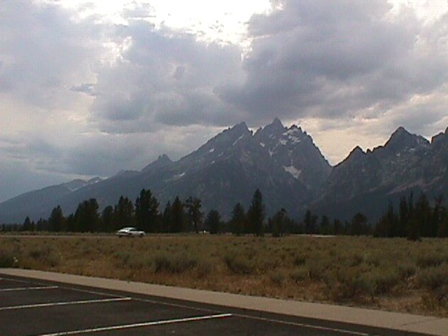
Grand Tetons | 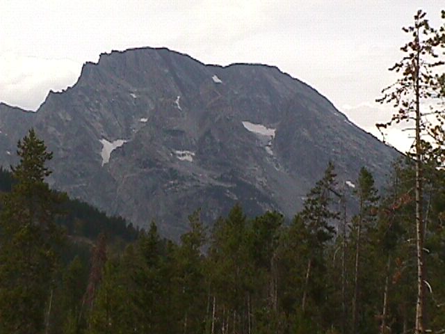
Grand Tetons | |
Grand Tetons | 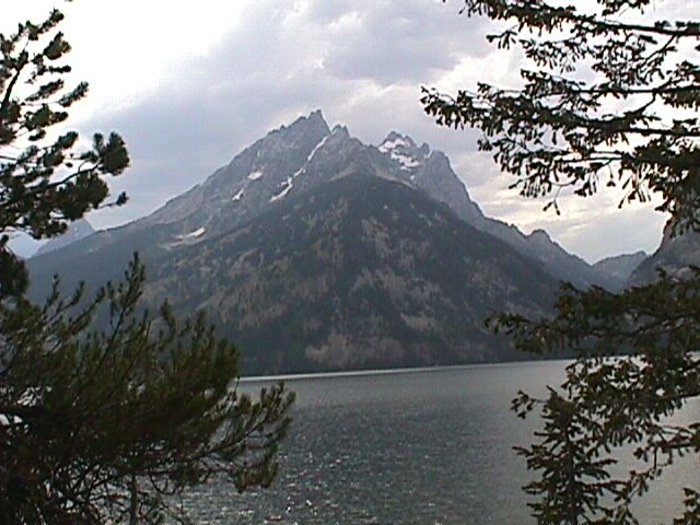
Grand Tetons | 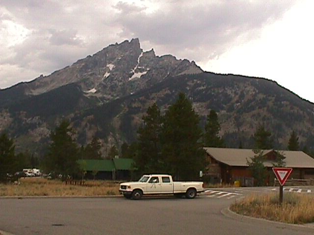
Grand Tetons | 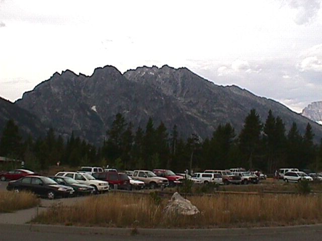
Grand Tetons | ||
Golden SpikeAfter leaving the Grand Tetons, on our way to Salt Lake City, we noticed a rather quiet sign, of the fashion used by the forestry service, that indicated "Golden Spike National Historic Site ->". Bill couldn't resist and after a considerable sidetrack, we found the actual site of the tent boom town Promontory and the location where the Golden Spike was driven that connected the railroads of the east and west. Before we ever got to the Golden Spike Site, we drove by a facility that looked liked a bunch of roofs behind an artificial burm. There was an impress fence (considering it was in the middle of no where), and there was a little sign that indicated that the fence was government property. We decided it was a secret facility and we really were not seeing it (OK, we were kind of bored). | 
Secret Government site | ||||

Visitor's Center | 
No 119 | 
No 119 | 
No 119 | 
No 119 | |

Jupiter and No 119 | 
Jupiter and Promontory | 
Promontory | 
Promontory Story | 
Golden spike Plaque | |
Salt Lake CityWe've been working on Family Trees recently, so we couldn't just drive through Salt Lake City. We had to at least stop by the Family History Center and say "thank you" for all the information they have provided us. | 
Family History Center | 
The Organ in the Tabernacle |

| 
|